Fyodorovka night lights from space
Night Light of Fyodorovka (Qostanay) from space (Kazakhstan) Src. Average luminocity for 10x10km area is 0% and for 50x50km: 0.0068%.
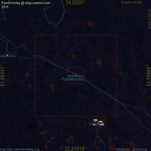
Analysis of Fyodorovka night lights 2016
Square area 10x10 km:
 0%
0%90-99
0%80-89
0%70-79
0%60-69
0%50-59
0%40-49
0%30-39
0%20-29
0%10-19
0%0-9
100%Square area 50x50 km:
0%90-99
0%80-89
0%70-79
0%60-69
0%50-59
0%40-49
0%30-39
0%20-29
0%10-19
0%0-9
100%Clear (daylight) street map image can be seen on geolist.org.
Map coordinates:
54° 3' 10.4" North, 61° 59' 36.3" East
53° 38' 17.1" North, 62° 41' 47.5" East
53° 13' 9" North, 63° 23' 58.8" East
Some cities around Fyodorovka sort by population:
• Kostanay
77.5 km =48.2 mi,  127°
127°
• Rudnyy
79.1 km =49.2 mi,  159°
159°
• Troitsk, RU
89.4 km =55.6 mi,  304°
304°
• Qashar
32.1 km =19.9 mi, 159°
• Komsomolets
43.8 km =27.2 mi,  286°
286°
• Borovskoy
99.3 km =61.7 mi,  80°
80°
• Tobol
105.2 km =65.4 mi,  183°
183°
• Tselinnoye, RU
115.2 km =71.6 mi,  33°
33°
1524282 (p: 8,317)
Sources (retrieved 2019-11-25):
» Earth at Night: Flat Maps 2012, 2016