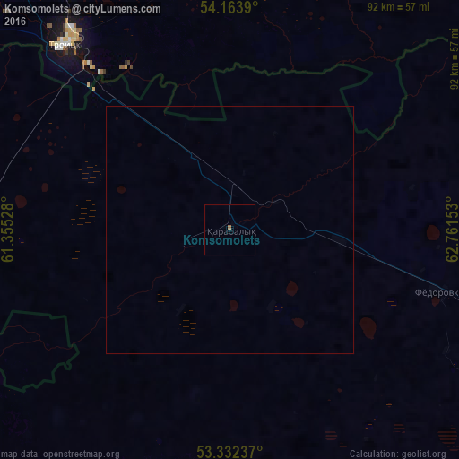
Komsomolets night lights from space
Night Light of Komsomolets (Qostanay) from space (Kazakhstan) Src. Average luminocity for 10x10km area is 0.3232% and for 50x50km: 0.013%.
Analysis of Komsomolets night lights 2016
Square area 10x10 km:
 0%
0%90-99
0%80-89
0%70-79
0%60-69
0.51%50-59
0%40-49
0%30-39
0%20-29
0%10-19
0%0-9
99.49%Square area 50x50 km:
0%90-99
0%80-89
0%70-79
0%60-69
0.02%50-59
0%40-49
0%30-39
0%20-29
0%10-19
0%0-9
99.98%Clear (daylight) street map image can be seen on geolist.org.
Map coordinates:
54° 9' 50" North, 61° 21' 19" East
53° 45' 0.7" North, 62° 3' 30.2" East
53° 19' 56.5" North, 62° 45' 41.5" East
Some cities around Komsomolets sort by population:
• Troitsk, RU
49.9 km =31 mi,  320°
320°
• Yuzhnoural’sk, RU
93.1 km =57.8 mi,  325°
325°
• Plast, RU
106.5 km =66.2 mi,  310°
310°
• Uvel’skiy, RU
89.7 km =55.7 mi, 329°
• Qashar
68.3 km =42.4 mi,  128°
128°
• Varna, RU
82.4 km =51.2 mi,  240°
240°
• Fyodorovka
43.8 km =27.2 mi,  106°
106°
• Chesma, RU
92.6 km =57.5 mi,  274°
274°
1522348 (p: 9,838)
Sources (retrieved 2019-11-25):
» Earth at Night: Flat Maps 2012, 2016