Lisakovsk night lights from space
Night Light of Lisakovsk (Qostanay) from space (Kazakhstan) Src. Average luminocity for 10x10km area is 4.0701% and for 50x50km: 0.3871%.
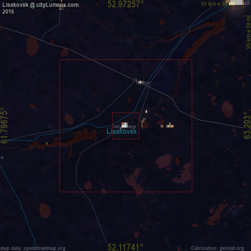
Analysis of Lisakovsk night lights 2016
Square area 10x10 km:
 0.53%
0.53%90-99
1.59%80-89
0%70-79
0%60-69
0.4%50-59
0.66%40-49
0.93%30-39
0.13%20-29
0.53%10-19
0.53%0-9
94.71%Square area 50x50 km:
0.02%90-99
0.13%80-89
0%70-79
0.02%60-69
0.05%50-59
0.1%40-49
0.06%30-39
0.04%20-29
0.16%10-19
0.06%0-9
99.37%Clear (daylight) street map image can be seen on geolist.org.
Map coordinates:
52° 58' 21.3" North, 61° 47' 48.3" East
52° 32' 49.5" North, 62° 29' 59.5" East
52° 7' 2.7" North, 63° 12' 10.8" East
Some cities around Lisakovsk sort by population:
• Kostanay
105.8 km =65.7 mi,  45°
45°
• Rudnyy
63 km =39.1 mi,  41°
41°
• Dzhetygara
96.8 km =60.1 mi,  245°
245°
• Kartaly, RU
136.5 km =84.8 mi,  294°
294°
• Qashar
94.6 km =58.8 mi,  15°
15°
• Komsomolets
137 km =85.1 mi,  347°
347°
• Fyodorovka
122 km =75.8 mi,  6°
6°
• Tobol
17.4 km =10.8 mi, 20°
1521315 (p: 40,000)
Sources (retrieved 2019-11-25):
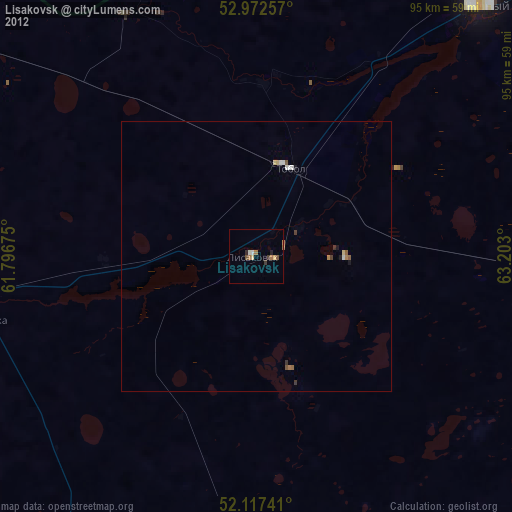
» Earth at Night: Flat Maps 2012, 2016