Qusmuryn night lights from space
Night Light of Qusmuryn (Qostanay) from space (Kazakhstan) Src. Average luminocity for 10x10km area is 0.2677% and for 50x50km: 0.011%.
Analysis of Qusmuryn night lights 2016
Square area 10x10 km:
 0%
0%90-99
0%80-89
0%70-79
0%60-69
0%50-59
0.51%40-49
0%30-39
0%20-29
0%10-19
0%0-9
99.49%Square area 50x50 km:
0%90-99
0%80-89
0%70-79
0%60-69
0%50-59
0.02%40-49
0%30-39
0%20-29
0%10-19
0%0-9
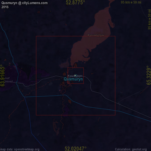
99.98%Clear (daylight) street map image can be seen on geolist.org.
Map coordinates:
52° 52' 39" North, 63° 54' 59.9" East
52° 27' 3.9" North, 64° 37' 11.2" East
52° 1' 13.7" North, 65° 19' 22.4" East
Some cities around Qusmuryn sort by population:
• Kostanay
108 km =67.1 mi,  321°
321°
• Rudnyy
116.7 km =72.5 mi,  299°
299°
• Lisakovsk
143.9 km =89.4 mi,  274°
274°
• Esil
133.8 km =83.1 mi,  114°
114°
• Qashar
155.5 km =96.6 mi,  310°
310°
• Borovskoy
152 km =94.4 mi,  348°
348°
• Tobol
139.7 km =86.8 mi,  281°
281°
• Novoishimskiy
166.6 km =103.5 mi,  60°
60°
1519924 (p: 8,049)
Sources (retrieved 2019-11-25):
» Earth at Night: Flat Maps 2012, 2016