Borovskoy night lights from space
Night Light of Borovskoy (Qostanay) from space (Kazakhstan) Src. Average luminocity for 10x10km area is 0% and for 50x50km: 0%.
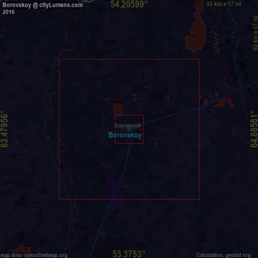
Analysis of Borovskoy night lights 2016
Square area 10x10 km:
 0%
0%90-99
0%80-89
0%70-79
0%60-69
0%50-59
0%40-49
0%30-39
0%20-29
0%10-19
0%0-9
100%Square area 50x50 km:
0%90-99
0%80-89
0%70-79
0%60-69
0%50-59
0%40-49
0%30-39
0%20-29
0%10-19
0%0-9
100%Clear (daylight) street map image can be seen on geolist.org.
Map coordinates:
54° 12' 21.6" North, 63° 28' 46.4" East
53° 47' 33.7" North, 64° 10' 57.6" East
53° 22' 31.1" North, 64° 53' 8.9" East
Some cities around Borovskoy sort by population:
• Kostanay
74.1 km =46 mi,  209°
209°
• Rudnyy
115.4 km =71.7 mi,  217°
217°
• Kurtamysh, RU
125.3 km =77.9 mi,  7°
7°
• Qashar
98.8 km =61.4 mi,  241°
241°
• Komsomolets
139.7 km =86.8 mi,  268°
268°
• Fyodorovka
99.3 km =61.7 mi,  260°
260°
• Qusmuryn
152 km =94.4 mi,  168°
168°
• Tselinnoye, RU
85.5 km =53.1 mi,  337°
337°
1525121 (p: 9,659)
Sources (retrieved 2019-11-25):
» Earth at Night: Flat Maps 2012, 2016