Esil night lights from space
Night Light of Esil (Aqmola) from space (Kazakhstan) Src. Average luminocity for 10x10km area is 0.6503% and for 50x50km: 0.0271%.
Analysis of Esil night lights 2016
Square area 10x10 km:
 0%
0%90-99
0%80-89
0%70-79
0%60-69
0.38%50-59
0.63%40-49
0%30-39
0%20-29
0%10-19
0%0-9
98.99%Square area 50x50 km:
0%90-99
0%80-89
0%70-79
0%60-69
0.02%50-59
0.03%40-49
0%30-39
0%20-29
0%10-19
0%0-9
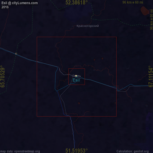
99.96%Clear (daylight) street map image can be seen on geolist.org.
Map coordinates:
52° 23' 10.2" North, 65° 42' 19" East
51° 57' 17.8" North, 66° 24' 30.3" East
51° 31' 10.3" North, 67° 6' 41.5" East
Some cities around Esil sort by population:
• Arkalyk
193 km =119.9 mi,  169°
169°
• Atbasar
135 km =83.9 mi,  97°
97°
• Derzhavīnsk
95.4 km =59.3 mi,  183°
183°
• Qusmuryn
133.8 km =83.1 mi,  294°
294°
• Balkashino
171.4 km =106.5 mi,  68°
68°
• Novoishimskiy
140.4 km =87.2 mi,  10°
10°
• Shantobe
132.5 km =82.3 mi, 65°
• Zhaqsy
62.5 km =38.8 mi,  94°
94°
1524296 (p: 13,504)
Sources (retrieved 2019-11-25):
» Earth at Night: Flat Maps 2012, 2016