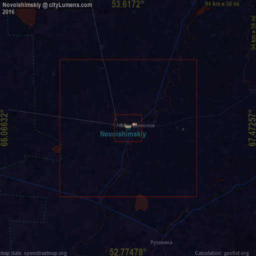
Novoishimskiy night lights from space
Night Light of Novoishimskiy (Soltüstik Qazaqstan) from space (Kazakhstan) Src. Average luminocity for 10x10km area is 2.4684% and for 50x50km: 0.1056%.
Analysis of Novoishimskiy night lights 2016
Square area 10x10 km:
 0%
0%90-99
0%80-89
0%70-79
0.51%60-69
0.51%50-59
1.01%40-49
1.52%30-39
0%20-29
0.63%10-19
0.88%0-9
94.95%Square area 50x50 km:
0%90-99
0%80-89
0%70-79
0.02%60-69
0.02%50-59
0.04%40-49
0.06%30-39
0%20-29
0.05%10-19
0.04%0-9
99.77%Clear (daylight) street map image can be seen on geolist.org.
Map coordinates:
53° 37' 1.9" North, 66° 3' 58.8" East
53° 11' 53" North, 66° 46' 10" East
52° 46' 29.2" North, 67° 28' 21.3" East
Some cities around Novoishimskiy sort by population:
• Kokshetau
175.3 km =108.9 mi,  86°
86°
• Esil
140.4 km =87.2 mi,  190°
190°
• Borovskoy
183.4 km =114 mi,  291°
291°
• Sergeyevka
86.9 km =54 mi,  29°
29°
• Qusmuryn
166.6 km =103.5 mi,  240°
240°
• Balkashino
153.1 km =95.1 mi,  119°
119°
• Shantobe
125.5 km =78 mi,  131°
131°
• Zhaqsy
147.9 km =91.9 mi,  165°
165°
1535379 (p: 6,062)
Sources (retrieved 2019-11-25):
» Earth at Night: Flat Maps 2012, 2016