Sergeyevka night lights from space
Night Light of Sergeyevka (Soltüstik Qazaqstan) from space (Kazakhstan) Src. Average luminocity for 10x10km area is 0.4788% and for 50x50km: 0.0265%.
Analysis of Sergeyevka night lights 2016
Square area 10x10 km:
 0%
0%90-99
0%80-89
0.53%70-79
0%60-69
0%50-59
0%40-49
0%30-39
0%20-29
0%10-19
0%0-9
99.47%Square area 50x50 km:
0%90-99
0%80-89
0.02%70-79
0%60-69
0%50-59
0%40-49
0.01%30-39
0.01%20-29
0%10-19
0%0-9
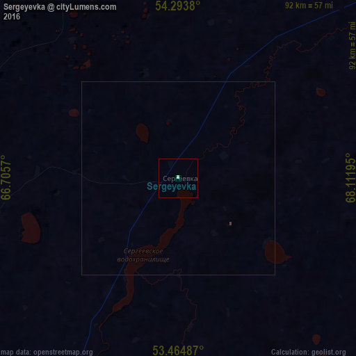
99.96%Clear (daylight) street map image can be seen on geolist.org.
Map coordinates:
54° 17' 37.7" North, 66° 42' 20.5" East
53° 52' 53" North, 67° 24' 31.8" East
53° 27' 53.5" North, 68° 6' 43" East
Some cities around Sergeyevka sort by population:
• Kokshetau
147.3 km =91.5 mi,  116°
116°
• Taiynsha
154.7 km =96.1 mi,  91°
91°
• Petukhovo, RU
135.9 km =84.4 mi,  13°
13°
• Makushino, RU
148.1 km =92 mi,  355°
355°
• Novoishimskiy
86.9 km =54 mi,  209°
209°
• Smirnovo
149 km =92.6 mi,  61°
61°
• Bishkul
148.1 km =92 mi,  47°
47°
• Polovinnoye, RU
136.9 km =85.1 mi,  317°
317°
1519385 (p: 8,845)
Sources (retrieved 2019-11-25):
» Earth at Night: Flat Maps 2012, 2016