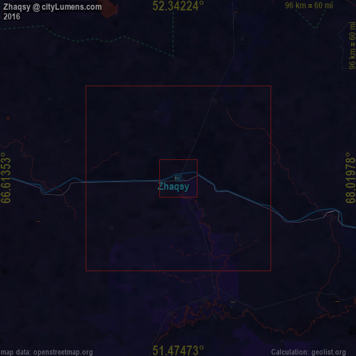
Zhaqsy night lights from space
Night Light of Zhaqsy (Aqmola) from space (Kazakhstan) Src. Average luminocity for 10x10km area is 0.1124% and for 50x50km: 0.0047%.
Analysis of Zhaqsy night lights 2016
Square area 10x10 km:
 0%
0%90-99
0%80-89
0%70-79
0%60-69
0%50-59
0%40-49
0%30-39
0%20-29
0.38%10-19
0.13%0-9
99.49%Square area 50x50 km:
0%90-99
0%80-89
0%70-79
0%60-69
0%50-59
0%40-49
0%30-39
0%20-29
0.02%10-19
0.01%0-9
99.98%Clear (daylight) street map image can be seen on geolist.org.
Map coordinates:
52° 20' 32.1" North, 66° 36' 48.7" East
51° 54' 38.1" North, 67° 18' 59.9" East
51° 28' 29" North, 68° 1' 11.2" East
Some cities around Zhaqsy sort by population:
• Arkalyk
186.8 km =116.1 mi,  188°
188°
• Atbasar
72.6 km =45.1 mi,  99°
99°
• Derzhavīnsk
113.7 km =70.6 mi,  217°
217°
• Esil
62.5 km =38.8 mi,  274°
274°
• Astrakhan
176 km =109.4 mi, 103°
• Balkashino
118.8 km =73.8 mi,  55°
55°
• Novoishimskiy
147.9 km =91.9 mi,  345°
345°
• Shantobe
84.1 km =52.3 mi,  44°
44°
1517020 (p: 5,001)
Sources (retrieved 2019-11-25):
» Earth at Night: Flat Maps 2012, 2016