Balkashino night lights from space
Night Light of Balkashino (Aqmola) from space (Kazakhstan) Src. Average luminocity for 10x10km area is 0.4974% and for 50x50km: 0.0302%.
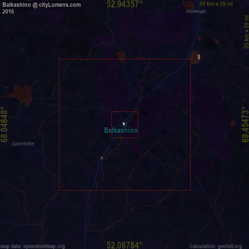
Analysis of Balkashino night lights 2016
Square area 10x10 km:
 0%
0%90-99
0.53%80-89
0%70-79
0%60-69
0%50-59
0%40-49
0%30-39
0%20-29
0%10-19
0%0-9
99.47%Square area 50x50 km:
0%90-99
0.02%80-89
0%70-79
0%60-69
0%50-59
0%40-49
0.02%30-39
0%20-29
0%10-19
0%0-9
99.96%Clear (daylight) street map image can be seen on geolist.org.
Map coordinates:
52° 56' 36.9" North, 68° 2' 54.5" East
52° 31' 4" North, 68° 45' 5.8" East
52° 5' 16.2" North, 69° 27' 17" East
Some cities around Balkashino sort by population:
• Kokshetau
95.6 km =59.4 mi,  27°
27°
• Shchuchinsk
107.4 km =66.7 mi,  64°
64°
• Atbasar
83.5 km =51.9 mi,  198°
198°
• Makinsk
113.4 km =70.5 mi,  83°
83°
• Akkol’
103.6 km =64.4 mi, 33°
• Būrabay
122.4 km =76.1 mi, 59°
• Shantobe
39.7 km =24.7 mi,  259°
259°
• Zhaqsy
118.8 km =73.8 mi,  235°
235°
1525809 (p: 6,147)
Sources (retrieved 2019-11-25):
» Earth at Night: Flat Maps 2012, 2016