Mayqayyng night lights from space
Night Light of Mayqayyng (Pavlodar Region) from space (Kazakhstan) Src. Average luminocity for 10x10km area is 2.7286% and for 50x50km: 0.9764%.
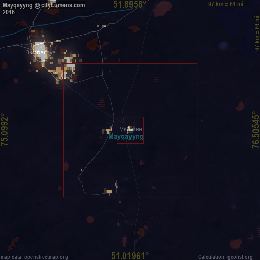
Analysis of Mayqayyng night lights 2016
Square area 10x10 km:
 0%
0%90-99
0%80-89
0%70-79
1.87%60-69
0.8%50-59
0.13%40-49
0.4%30-39
0%20-29
0.53%10-19
0.53%0-9
95.72%Square area 50x50 km:
0.15%90-99
0.11%80-89
0.06%70-79
0.26%60-69
0.12%50-59
0.1%40-49
0.12%30-39
0.1%20-29
0.29%10-19
0.69%0-9
98.01%Clear (daylight) street map image can be seen on geolist.org.
Map coordinates:
51° 53' 44.9" North, 75° 5' 57.1" East
51° 27' 35.3" North, 75° 48' 8.4" East
51° 1' 10.6" North, 76° 30' 19.6" East
Some cities around Mayqayyng sort by population:
• Pavlodar
121.5 km =75.5 mi,  41°
41°
• Ekibastuz
44.2 km =27.5 mi,  311°
311°
• Aksu
100.8 km =62.6 mi,  50°
50°
• Yermentau
187.6 km =116.6 mi,  275°
275°
• Qashyr
179.8 km =111.7 mi,  6°
6°
• Leninskiy
111 km =69 mi, 37°
• Bayanaul
74.5 km =46.3 mi,  185°
185°
• Kalkaman
57 km =35.4 mi,  15°
15°
1521048 (p: 7,695)
Sources (retrieved 2019-11-25):
» Earth at Night: Flat Maps 2012, 2016