Kalkaman night lights from space
Night Light of Kalkaman (Pavlodar Region) from space (Kazakhstan) Src. Average luminocity for 10x10km area is 1.7702% and for 50x50km: 0.0966%.
Analysis of Kalkaman night lights 2016
Square area 10x10 km:
 0%
0%90-99
0%80-89
1.01%70-79
0%60-69
0.51%50-59
0%40-49
0.38%30-39
0.51%20-29
0.13%10-19
0.51%0-9
96.97%Square area 50x50 km:
0%90-99
0%80-89
0.04%70-79
0%60-69
0.02%50-59
0.02%40-49
0.04%30-39
0.02%20-29
0.01%10-19
0.02%0-9
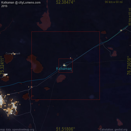
99.83%Clear (daylight) street map image can be seen on geolist.org.
Map coordinates:
52° 23' 5.1" North, 75° 19' 26.8" East
51° 57' 12.6" North, 76° 1' 38" East
51° 31' 5" North, 76° 43' 49.3" East
Some cities around Kalkaman sort by population:
• Pavlodar
73.9 km =45.9 mi,  60°
60°
• Ekibastuz
54.7 km =34 mi,  242°
242°
• Aksu
62.4 km =38.8 mi,  81°
81°
• Irtyshsk
158.2 km =98.3 mi,  345°
345°
• Qashyr
123.9 km =77 mi,  2°
2°
• Leninskiy
61.4 km =38.2 mi, 57°
• Mayqayyng
57 km =35.4 mi,  195°
195°
• Bayanaul
131 km =81.4 mi,  189°
189°
1523605 (p: 5,415)
Sources (retrieved 2019-11-25):
» Earth at Night: Flat Maps 2012, 2016