Bayanaul night lights from space
Night Light of Bayanaul (Pavlodar Region) from space (Kazakhstan) Src. Average luminocity for 10x10km area is 0.965% and for 50x50km: 0.1121%.
Analysis of Bayanaul night lights 2016
Square area 10x10 km:
 0%
0%90-99
0%80-89
0%70-79
0%60-69
0%50-59
0%40-49
0%30-39
1.12%20-29
1.12%10-19
1.12%0-9
96.64%Square area 50x50 km:
0%90-99
0%80-89
0%70-79
0.06%60-69
0.01%50-59
0.02%40-49
0%30-39
0.04%20-29
0.04%10-19
0.09%0-9
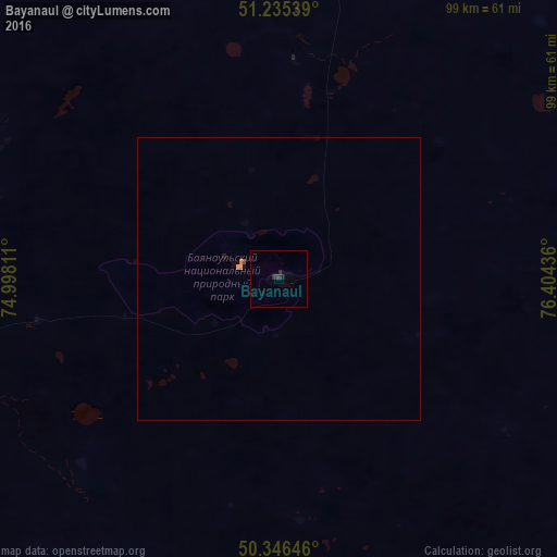
99.74%Clear (daylight) street map image can be seen on geolist.org.
Map coordinates:
51° 14' 7.4" North, 74° 59' 53.2" East
50° 47' 34.9" North, 75° 42' 4.4" East
50° 20' 47.3" North, 76° 24' 15.7" East
Some cities around Bayanaul sort by population:
• Pavlodar
187.4 km =116.4 mi,  27°
27°
• Ekibastuz
106.8 km =66.4 mi,  345°
345°
• Aksu
162.7 km =101.1 mi, 31°
• Aktau
196.3 km =122 mi,  251°
251°
• Leninskiy
178.8 km =111.1 mi,  24°
24°
• Qarqaraly
154.3 km =95.9 mi,  186°
186°
• Mayqayyng
74.5 km =46.3 mi,  5°
5°
• Kalkaman
131 km =81.4 mi, 9°
1525650 (p: 5,700)
Sources (retrieved 2019-11-25):
» Earth at Night: Flat Maps 2012, 2016