Dzhetygara night lights from space
Night Light of Dzhetygara (Qostanay) from space (Kazakhstan) Src. Average luminocity for 10x10km area is 4.3796% and for 50x50km: 0.2439%.
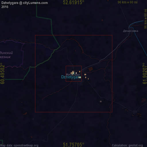
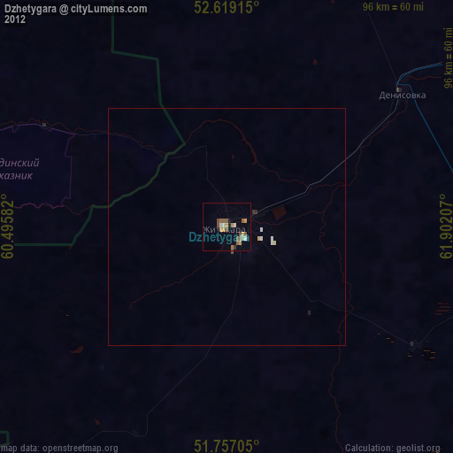
Analysis of Dzhetygara night lights 2016
Square area 10x10 km:
 0.13%
0.13%90-99
0.4%80-89
0%70-79
0.79%60-69
0.79%50-59
2.65%40-49
0.53%30-39
1.06%20-29
0%10-19
0.53%0-9
93.12%Square area 50x50 km:
0.01%90-99
0.02%80-89
0%70-79
0.03%60-69
0.07%50-59
0.13%40-49
0.04%30-39
0.05%20-29
0.04%10-19
0.02%0-9
99.6%Clear (daylight) street map image can be seen on geolist.org.
Map coordinates:
52° 37' 8.9" North, 60° 29' 45" East
52° 11' 24.7" North, 61° 11' 56.2" East
51° 45' 25.4" North, 61° 54' 7.5" East
Some cities around Dzhetygara sort by population:
• Lisakovsk
96.8 km =60.1 mi,  65°
65°
• Kartaly, RU
102.8 km =63.9 mi,  338°
338°
• Lokomotivnyy, RU
100.8 km =62.6 mi, 335°
• Bredy, RU
63.5 km =39.5 mi,  293°
293°
• Varna, RU
133.4 km =82.9 mi,  353°
353°
• Svetlyy, RU
154.4 km =95.9 mi,  188°
188°
• Adamovka, RU
114 km =70.8 mi,  229°
229°
• Tobol
109.7 km =68.2 mi,  59°
59°
1516601 (p: 43,104)
Sources (retrieved 2019-11-25):
» Earth at Night: Flat Maps 2012, 2016