Kartaly night lights from space
Night Light of Kartaly (Chelyabinsk) from space (Russia) Src. Average luminocity for 10x10km area is 14.7288% and for 50x50km: 0.6528%.
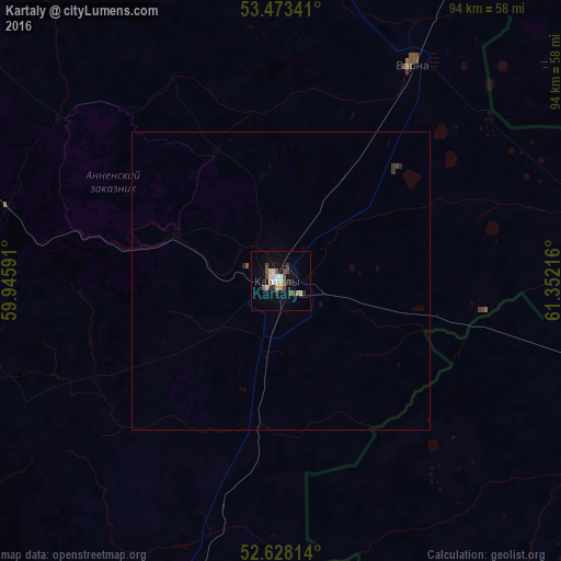
Analysis of Kartaly night lights 2016
Square area 10x10 km:
 1.72%
1.72%90-99
3.04%80-89
1.19%70-79
1.06%60-69
1.46%50-59
1.98%40-49
3.31%30-39
1.59%20-29
2.12%10-19
5.56%0-9
76.98%Square area 50x50 km:
0.07%90-99
0.12%80-89
0.05%70-79
0.04%60-69
0.06%50-59
0.1%40-49
0.13%30-39
0.12%20-29
0.12%10-19
0.22%0-9
98.97%Clear (daylight) street map image can be seen on geolist.org.
Map coordinates:
53° 28' 24.3" North, 59° 56' 45.3" East
53° 3' 10.3" North, 60° 38' 56.5" East
52° 37' 41.3" North, 61° 21' 7.8" East
Some cities around Kartaly sort by population:
• Magnitogorsk
114.1 km =70.9 mi,  290°
290°
• Dzhetygara, KZ
102.8 km =63.9 mi,  158°
158°
• Lokomotivnyy
7.1 km =4.4 mi,  229°
229°
• Bredy
73.9 km =45.9 mi,  196°
196°
• Varna
42.5 km =26.4 mi,  30°
30°
• Komsomolets, KZ
121.4 km =75.4 mi,  50°
50°
• Agapovka
104.5 km =64.9 mi, 285°
• Chesma
84.3 km =52.4 mi,  0°
0°
1504317 (p: 28,503)
Sources (retrieved 2019-11-25):
» Earth at Night: Flat Maps 2012, 2016