Irtyshsk night lights from space
Night Light of Irtyshsk (Pavlodar Region) from space (Kazakhstan) Src. Average luminocity for 10x10km area is 2.2096% and for 50x50km: 0.1103%.
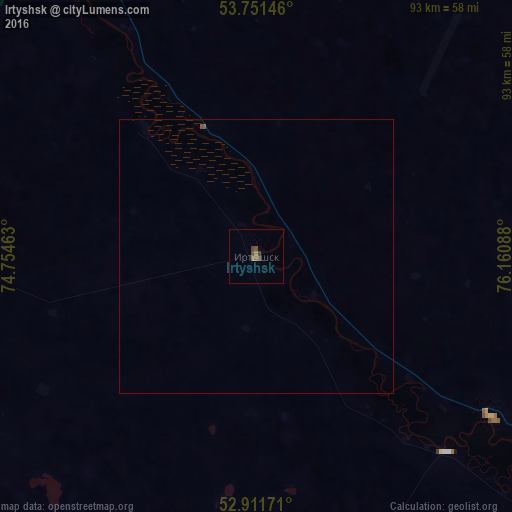
Analysis of Irtyshsk night lights 2016
Square area 10x10 km:
 0%
0%90-99
0%80-89
0%70-79
0%60-69
0.88%50-59
0.63%40-49
1.77%30-39
0.76%20-29
0%10-19
0%0-9
95.96%Square area 50x50 km:
0%90-99
0%80-89
0%70-79
0%60-69
0.04%50-59
0.05%40-49
0.09%30-39
0.03%20-29
0%10-19
0%0-9
99.8%Clear (daylight) street map image can be seen on geolist.org.
Map coordinates:
53° 45' 5.3" North, 74° 45' 16.7" East
53° 20' 1.1" North, 75° 27' 27.9" East
52° 54' 42.2" North, 76° 9' 39.2" East
Some cities around Irtyshsk sort by population:
• Pavlodar
154.7 km =96.1 mi,  139°
139°
• Cherlak, RU
100.9 km =62.7 mi,  334°
334°
• Qashyr
52.3 km =32.5 mi,  124°
124°
• Leninskiy
149.5 km =92.9 mi, 143°
• Novovarshavka, RU
105.9 km =65.8 mi, 331°
• Russkaya Polyana, RU
115.4 km =71.7 mi,  295°
295°
• Pavlogradka, RU
157.8 km =98.1 mi,  307°
307°
• Zhelezinka
24.7 km =15.3 mi,  337°
337°
1523768 (p: 9,216)
Sources (retrieved 2019-11-25):
» Earth at Night: Flat Maps 2012, 2016