Tselinnoye night lights from space
Night Light of Tselinnoye (Kurgan Oblast) from space (Russia) Src. Average luminocity for 10x10km area is 0.4522% and for 50x50km: 0.0274%.
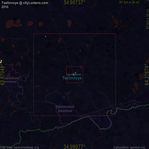
Analysis of Tselinnoye night lights 2016
Square area 10x10 km:
 0%
0%90-99
0%80-89
0%70-79
0%60-69
0%50-59
0%40-49
0.48%30-39
0.48%20-29
0%10-19
0%0-9
99.04%Square area 50x50 km:
0%90-99
0%80-89
0%70-79
0%60-69
0%50-59
0%40-49
0.03%30-39
0.03%20-29
0%10-19
0%0-9
99.94%Clear (daylight) street map image can be seen on geolist.org.
Map coordinates:
54° 54' 26.5" North, 62° 58' 13.8" East
54° 30' 4" North, 63° 40' 25" East
54° 5' 26.8" North, 64° 22' 36.3" East
Some cities around Tselinnoye sort by population:
• Shumikha
84.2 km =52.3 mi,  343°
343°
• Kurtamysh
66.7 km =41.4 mi,  46°
46°
• Komsomolets, KZ
134.3 km =83.5 mi,  231°
231°
• Borovskoy, KZ
85.5 km =53.1 mi,  157°
157°
• Mishkino
94.4 km =58.7 mi,  9°
9°
• Fyodorovka, KZ
115.2 km =71.6 mi,  213°
213°
• Yurgamysh
109.4 km =68 mi,  27°
27°
• Lesnikovo
136.4 km =84.8 mi, 50°
1489137 (p: 5,711)
Sources (retrieved 2019-11-25):
» Earth at Night: Flat Maps 2012, 2016