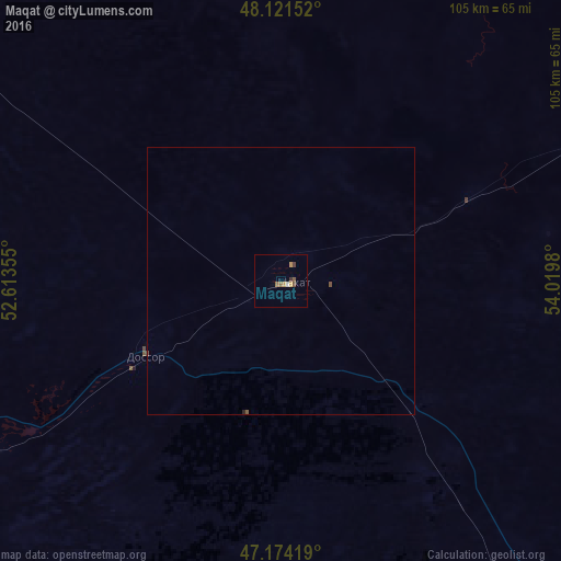
Maqat night lights from space
Night Light of Maqat (Atyraū) from space (Kazakhstan) Src. Average luminocity for 10x10km area is 4.1949% and for 50x50km: 0.1929%.
Analysis of Maqat night lights 2016
Square area 10x10 km:
 0%
0%90-99
0.6%80-89
0.15%70-79
1.49%60-69
0.6%50-59
1.34%40-49
1.04%30-39
0.74%20-29
0%10-19
0%0-9
94.05%Square area 50x50 km:
0%90-99
0.02%80-89
0.01%70-79
0.06%60-69
0.02%50-59
0.06%40-49
0.08%30-39
0.03%20-29
0.01%10-19
0%0-9
99.71%Clear (daylight) street map image can be seen on geolist.org.
Map coordinates:
48° 7' 17.5" North, 52° 36' 48.8" East
47° 39' 0" North, 53° 19' 0" East
47° 10' 27.1" North, 54° 1' 11.3" East
Some cities around Maqat sort by population:
• Atyrau
123.1 km =76.5 mi,  241°
241°
• Qulsary
93.9 km =58.3 mi,  145°
145°
• Balykshi
127 km =78.9 mi, 239°
• Inderbor
151.6 km =94.2 mi,  311°
311°
• Dossor
28.6 km =17.8 mi, 241°
• Qaraton
135.7 km =84.3 mi,  174°
174°
• Makhambet
129.8 km =80.7 mi,  270°
270°
• Miyaly
141.8 km =88.1 mi,  14°
14°
608872 (p: 14,082)
Sources (retrieved 2019-11-25):
» Earth at Night: Flat Maps 2012, 2016