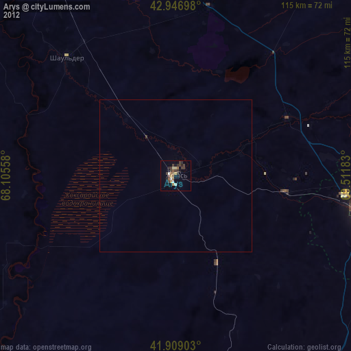
Arys night lights from space
Night Light of Arys (South Kazakhstan) from space (Kazakhstan) Src. Average luminocity for 10x10km area is 11.6286% and for 50x50km: 0.5067%.
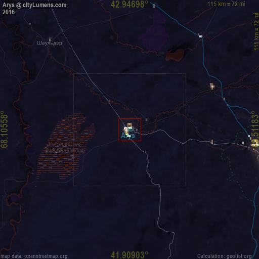
Analysis of Arys night lights 2016
Square area 10x10 km:
 0.79%
0.79%90-99
2.22%80-89
3.17%70-79
0.79%60-69
0.63%50-59
1.43%40-49
1.59%30-39
2.06%20-29
0.79%10-19
1.27%0-9
85.24%Square area 50x50 km:
0.03%90-99
0.09%80-89
0.13%70-79
0.03%60-69
0.03%50-59
0.06%40-49
0.06%30-39
0.08%20-29
0.07%10-19
0.06%0-9
99.35%Clear (daylight) street map image can be seen on geolist.org.
Map coordinates:
42° 56' 49.1" North, 68° 6' 20.1" East
42° 25' 48.5" North, 68° 48' 31.3" East
41° 54' 32.5" North, 69° 30' 42.6" East
Some cities around Arys sort by population:
• Shymkent
66.6 km =41.4 mi,  102°
102°
• Turkestan
106.6 km =66.2 mi,  334°
334°
• Belyye Vody
83.6 km =51.9 mi,  90°
90°
• Lenger
92.8 km =57.7 mi,  107°
107°
• Leninskoye
88.7 km =55.1 mi,  147°
147°
• Temirlanovka
41.4 km =25.7 mi,  62°
62°
• Chayan
81.8 km =50.8 mi,  34°
34°
• Sastobe
98.5 km =61.2 mi,  82°
82°
1526168 (p: 36,285)
Sources (retrieved 2019-11-25):
» Earth at Night: Flat Maps 2012, 2016