Turkestan night lights from space
Night Light of Turkestan (South Kazakhstan) from space (Kazakhstan) Src. Average luminocity for 10x10km area is 33.7667% and for 50x50km: 2.0682%.
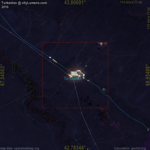
Analysis of Turkestan night lights 2016
Square area 10x10 km:
 3.64%
3.64%90-99
8.79%80-89
4.24%70-79
2.27%60-69
3.94%50-59
2.88%40-49
4.24%30-39
7.42%20-29
6.52%10-19
36.97%0-9
19.09%Square area 50x50 km:
0.15%90-99
0.43%80-89
0.22%70-79
0.17%60-69
0.24%50-59
0.2%40-49
0.38%30-39
0.37%20-29
0.39%10-19
2.02%0-9
95.43%Clear (daylight) street map image can be seen on geolist.org.
Map coordinates:
43° 48' 24.9" North, 67° 32' 55.1" East
43° 17' 50.4" North, 68° 15' 6.3" East
42° 47' 0.4" North, 68° 57' 17.6" East
Some cities around Turkestan sort by population:
• Kentau
31.8 km =19.8 mi,  39°
39°
• Arys
106.6 km =66.2 mi,  154°
154°
• Yanykurgan
105.6 km =65.6 mi,  309°
309°
• Temirlanovka
112.8 km =70.1 mi,  133°
133°
• Chulakkurgan
91 km =56.5 mi,  55°
55°
• Kantagi
37 km =23 mi,  46°
46°
• Chayan
96.1 km =59.7 mi,  107°
107°
• Ashchysay
59.5 km =37 mi, 61°
1517945 (p: 97,360)
Sources (retrieved 2019-11-25):
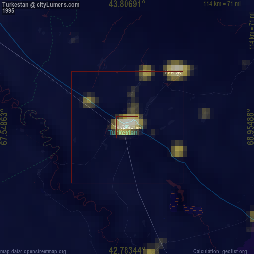
» NASA, Earths city lights 1995
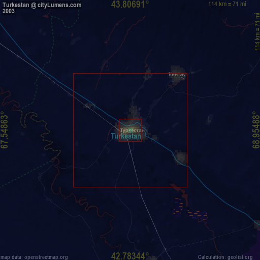
» NASA city lights 2003
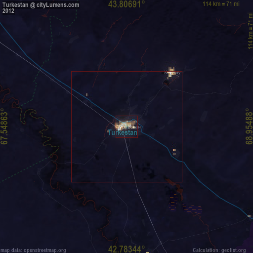
» Earth at Night: Flat Maps 2012, 2016