Shymkent night lights from space
Night Light of Shymkent from space (Kazakhstan) Src. Average luminocity for 10x10km area is 70.2742% and for 50x50km: 8.6149%.
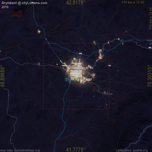

Analysis of Shymkent night lights 2016
Square area 10x10 km:
 15.91%
90-99
21.97%80-89
8.64%70-79
10.45%60-69
11.82%50-59
6.82%40-49
5.76%30-39
2.88%20-29
8.94%10-19
6.52%0-9
0.3%Square area 50x50 km:
1.08%90-99
1.45%80-89
1.08%70-79
1.13%60-69
1.55%50-59
1.12%40-49
1%30-39
1.41%20-29
2.42%10-19
4.85%0-9
82.9%Clear (daylight) street map image can be seen on geolist.org.
Map coordinates:
42° 49' 4.4" North, 68° 53' 48.8" East
42° 18' 0" North, 69° 36' 0" East
41° 46' 40.1" North, 70° 18' 11.3" East
Some cities around Shymkent sort by population:
• Arys
66.6 km =41.4 mi,  282°
282°
• Belyye Vody
23.1 km =14.4 mi,  53°
53°
• Lenger
27 km =16.8 mi,  119°
119°
• Turar Ryskulov
66.8 km =41.5 mi,  67°
67°
• Leninskoye
63 km =39.1 mi,  196°
196°
• Temirlanovka
43.6 km =27.1 mi,  319°
319°
• Tyul’kubas
60.8 km =37.8 mi, 70°
• Sastobe
43.2 km =26.8 mi, 49°
1518980 (p: 414,032)
Sources (retrieved 2019-11-25):
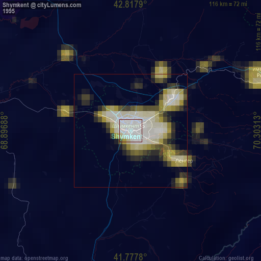
» NASA, Earths city lights 1995
» NASA city lights 2003
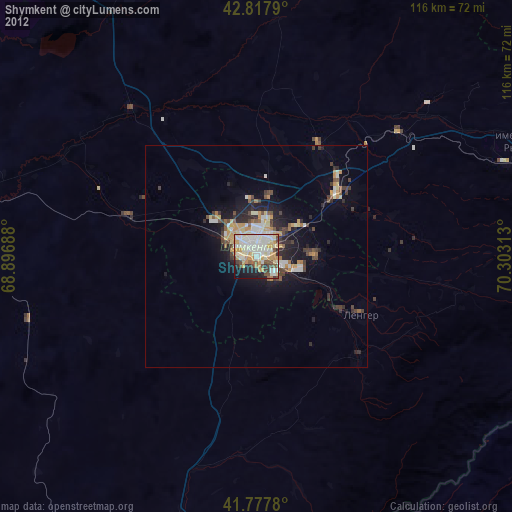
» Earth at Night: Flat Maps 2012, 2016