Belyye Vody night lights from space
Night Light of Belyye Vody (South Kazakhstan) from space (Kazakhstan) Src. Average luminocity for 10x10km area is 9.2571% and for 50x50km: 8.1262%.
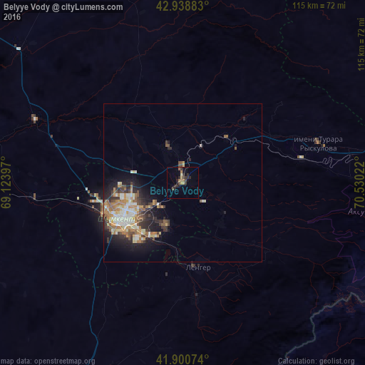
Analysis of Belyye Vody night lights 2016
Square area 10x10 km:
 0%
0%90-99
0%80-89
1.27%70-79
1.27%60-69
1.59%50-59
1.75%40-49
1.59%30-39
2.86%20-29
5.4%10-19
1.59%0-9
82.7%Square area 50x50 km:
1.06%90-99
1.46%80-89
0.98%70-79
1.1%60-69
1.48%50-59
1.11%40-49
0.95%30-39
1.38%20-29
2.16%10-19
4.02%0-9
84.3%Clear (daylight) street map image can be seen on geolist.org.
Map coordinates:
42° 56' 19.8" North, 69° 7' 26.3" East
42° 25' 18.9" North, 69° 49' 37.5" East
41° 54' 2.7" North, 70° 31' 48.8" East
Some cities around Belyye Vody sort by population:
• Shymkent
23.1 km =14.4 mi,  233°
233°
• Lenger
27.2 km =16.9 mi,  169°
169°
• Turar Ryskulov
44.6 km =27.7 mi,  73°
73°
• Leninskoye
82.5 km =51.3 mi,  206°
206°
• Temirlanovka
50.6 km =31.4 mi,  293°
293°
• Tyul’kubas
39.1 km =24.3 mi,  79°
79°
• Chayan
77.2 km =48 mi,  331°
331°
• Sastobe
20.3 km =12.6 mi,  43°
43°
1525462 (p: 26,115)
Sources (retrieved 2019-11-25):
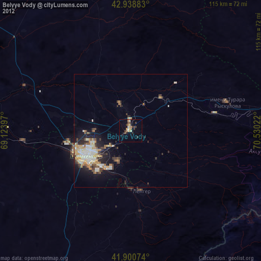
» Earth at Night: Flat Maps 2012, 2016