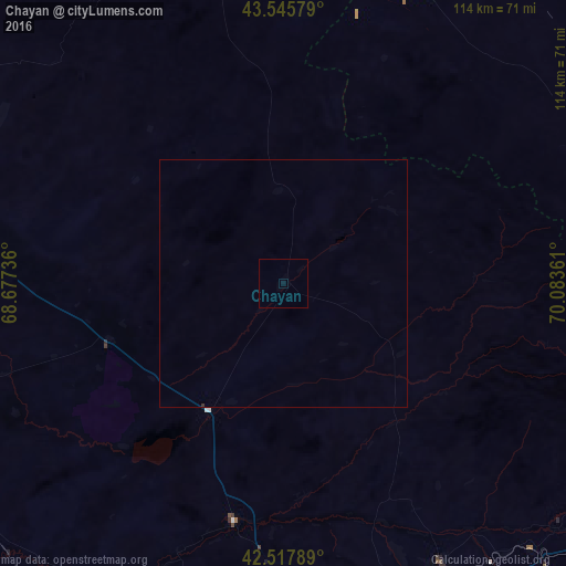
Chayan night lights from space
Night Light of Chayan (South Kazakhstan) from space (Kazakhstan) Src. Average luminocity for 10x10km area is 0.0444% and for 50x50km: 0.014%.
Analysis of Chayan night lights 2016
Square area 10x10 km:
 0%
0%90-99
0%80-89
0%70-79
0%60-69
0%50-59
0%40-49
0%30-39
0%20-29
0%10-19
0%0-9
100%Square area 50x50 km:
0%90-99
0%80-89
0%70-79
0%60-69
0%50-59
0%40-49
0%30-39
0.02%20-29
0%10-19
0%0-9
99.98%Clear (daylight) street map image can be seen on geolist.org.
Map coordinates:
43° 32' 44.8" North, 68° 40' 38.5" East
43° 2' 2.4" North, 69° 22' 49.7" East
42° 31' 4.4" North, 70° 5' 1" East
Some cities around Chayan sort by population:
• Shymkent
83.6 km =51.9 mi,  167°
167°
• Arys
81.8 km =50.8 mi,  214°
214°
• Zhangatas
65.3 km =40.6 mi,  25°
25°
• Belyye Vody
77.2 km =48 mi,  151°
151°
• Temirlanovka
49.3 km =30.6 mi,  191°
191°
• Chulakkurgan
82.9 km =51.5 mi,  348°
348°
• Sastobe
73.5 km =45.7 mi,  136°
136°
• Ashchysay
69.7 km =43.3 mi,  325°
325°
1524871 (p: 9,536)
Sources (retrieved 2019-11-25):
» Earth at Night: Flat Maps 2012, 2016