Jabor night lights from space
Night Light of Jabor (Jaluit Atoll) from space (Marshall Islands) Src. Average luminocity for 10x10km area is 0% and for 50x50km: 0.077%.
Analysis of Jabor night lights 2016
Square area 10x10 km:
 0%
0%90-99
0%80-89
0%70-79
0%60-69
0%50-59
0%40-49
0%30-39
0%20-29
0%10-19
0%0-9
100%Square area 50x50 km:
0%90-99
0.03%80-89
0.03%70-79
0%60-69
0%50-59
0%40-49
0%30-39
0.03%20-29
0%10-19
0%0-9
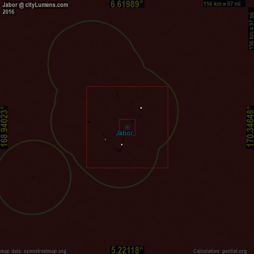
99.9%Clear (daylight) street map image can be seen on geolist.org.
Map coordinates:
6° 37' 11.6" North, 168° 56' 24.8" East
5° 55' 15.5" North, 169° 38' 36.1" East
5° 13' 16.2" North, 170° 20' 47.3" East
Some cities around Jabor sort by population:
• Majuro
231.7 km =144 mi,  55°
55°
• Mili
232 km =144.2 mi,  85°
85°
• Namdrik
174.1 km =108.2 mi,  258°
258°
• Ebon
182.1 km =113.2 mi,  215°
215°
• Kili
65.5 km =40.7 mi,  241°
241°
• Jabat
216.3 km =134.4 mi,  340°
340°
• RMI Capitol
231.7 km =144 mi, 55°
• Airuk
176.1 km =109.4 mi,  328°
328°
2080422 (p: 1,200)
Sources (retrieved 2019-11-25):
» Earth at Night: Flat Maps 2012, 2016