Arno night lights from space
Night Light of Arno (Arno Atoll) from space (Marshall Islands) Src. Average luminocity for 10x10km area is 0% and for 50x50km: 0.2733%.
Analysis of Arno night lights 2016
Square area 10x10 km:
 0%
0%90-99
0%80-89
0%70-79
0%60-69
0%50-59
0%40-49
0%30-39
0%20-29
0%10-19
0%0-9
100%Square area 50x50 km:
0%90-99
0.03%80-89
0.03%70-79
0.03%60-69
0.04%50-59
0.05%40-49
0.11%30-39
0.07%20-29
0.07%10-19
0.03%0-9
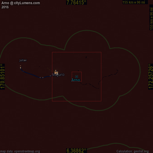
99.52%Clear (daylight) street map image can be seen on geolist.org.
Map coordinates:
7° 45' 50.9" North, 170° 51' 3.6" East
7° 4' 0.9" North, 171° 33' 14.9" East
6° 22' 7" North, 172° 15' 26.1" East
Some cities around Arno sort by population:
• Majuro
19.4 km =12.1 mi,  277°
277°
• Jabor
246.6 km =153.2 mi,  238°
238°
• Wotje
302.4 km =187.9 mi,  331°
331°
• Mili
111.4 km =69.2 mi,  169°
169°
• Aur
127.7 km =79.3 mi,  340°
340°
• Jabat
294.3 km =182.9 mi, 284°
• Taroa
185.7 km =115.4 mi,  348°
348°
• RMI Capitol
19.3 km =12 mi, 277°
7306514 (p: 2,068)
Sources (retrieved 2019-11-25):
» Earth at Night: Flat Maps 2012, 2016