Mili night lights from space
Night Light of Mili (Mili Atoll) from space (Marshall Islands) Src. Average luminocity for 10x10km area is 0% and for 50x50km: 0%.
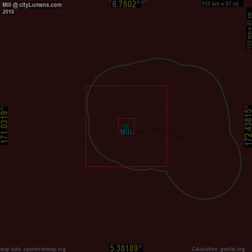
Analysis of Mili night lights 2016
Square area 10x10 km:
 0%
0%90-99
0%80-89
0%70-79
0%60-69
0%50-59
0%40-49
0%30-39
0%20-29
0%10-19
0%0-9
100%Square area 50x50 km:
0%90-99
0%80-89
0%70-79
0%60-69
0%50-59
0%40-49
0%30-39
0%20-29
0%10-19
0%0-9
100%Clear (daylight) street map image can be seen on geolist.org.
Map coordinates:
6° 46' 48.7" North, 171° 1' 54.8" East
6° 4' 53.4" North, 171° 44' 6.1" East
5° 22' 54.8" North, 172° 26' 17.3" East
Some cities around Mili sort by population:
• Majuro
118.8 km =73.8 mi,  340°
340°
• Arno
111.4 km =69.2 mi,  349°
349°
• Jabor
232 km =144.2 mi,  265°
265°
• Kili
293.2 km =182.2 mi,  260°
260°
• Aur
238.3 km =148.1 mi, 344°
• Airuk
348.3 km =216.4 mi,  292°
292°
• Taroa
297.1 km =184.6 mi, 349°
• RMI Capitol
118.7 km =73.8 mi, 340°
7306516 (p: 854)
Sources (retrieved 2019-11-25):
» Earth at Night: Flat Maps 2012, 2016