Kili night lights from space
Night Light of Kili (Kili Island) from space (Marshall Islands) Src. Average luminocity for 10x10km area is 0% and for 50x50km: 0%.
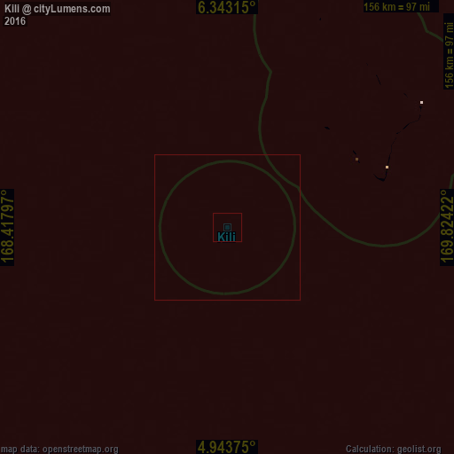
Analysis of Kili night lights 2016
Square area 10x10 km:
 0%
0%90-99
0%80-89
0%70-79
0%60-69
0%50-59
0%40-49
0%30-39
0%20-29
0%10-19
0%0-9
100%Square area 50x50 km:
0%90-99
0%80-89
0%70-79
0%60-69
0%50-59
0%40-49
0%30-39
0%20-29
0%10-19
0%0-9
100%Clear (daylight) street map image can be seen on geolist.org.
Map coordinates:
6° 20' 35.3" North, 168° 25' 4.7" East
5° 38' 37.9" North, 169° 7' 15.9" East
4° 56' 37.5" North, 169° 49' 27.2" East
Some cities around Kili sort by population:
• Majuro
296.9 km =184.5 mi,  57°
57°
• Jabor
65.5 km =40.7 mi, 61°
• Mili
293.2 km =182.2 mi,  80°
80°
• Namdrik
112.8 km =70.1 mi,  267°
267°
• Ebon
127.1 km =79 mi,  201°
201°
• Jabat
234.7 km =145.8 mi,  356°
356°
• Loen
255 km =158.4 mi,  337°
337°
• Airuk
184.6 km =114.7 mi,  349°
349°
7306525 (p: 602)
Sources (retrieved 2019-11-25):
» Earth at Night: Flat Maps 2012, 2016