RMI Capitol night lights from space
Night Light of RMI Capitol (Majuro Atoll) from space (Marshall Islands) Src. Average luminocity for 10x10km area is 6.6472% and for 50x50km: 0.3065%.
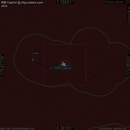
Analysis of RMI Capitol night lights 2016
Square area 10x10 km:
 0%
0%90-99
0.87%80-89
0.87%70-79
0.87%60-69
1.08%50-59
1.3%40-49
2.81%30-39
1.73%20-29
1.73%10-19
0.87%0-9
87.88%Square area 50x50 km:
0%90-99
0.03%80-89
0.03%70-79
0.03%60-69
0.04%50-59
0.05%40-49
0.11%30-39
0.1%20-29
0.15%10-19
0.03%0-9
99.41%Clear (daylight) street map image can be seen on geolist.org.
Map coordinates:
7° 47' 11.4" North, 170° 40' 38.6" East
7° 5' 21.5" North, 171° 22' 49.8" East
6° 23' 27.8" North, 172° 5' 1.1" East
Some cities around RMI Capitol sort by population:
• Majuro
0.1 km =0.1 mi,  330°
330°
• Arno
19.3 km =12 mi,  97°
97°
• Jabor
231.7 km =144 mi,  235°
235°
• Mili
118.7 km =73.8 mi,  160°
160°
• Aur
120.2 km =74.7 mi,  348°
348°
• Jabat
275.2 km =171 mi,  285°
285°
• Airuk
283.2 km =176 mi,  274°
274°
• Taroa
180.5 km =112.2 mi, 354°
7874852 (p: 0)
Sources (retrieved 2019-11-25):
» Earth at Night: Flat Maps 2012, 2016