Betio Village night lights from space
Night Light of Betio Village (Gilbert Islands) from space (Kiribati) Src. Average luminocity for 10x10km area is 1.5736% and for 50x50km: 0.1362%.
Analysis of Betio Village night lights 2016
Square area 10x10 km:
 0%
0%90-99
0%80-89
0%70-79
0.87%60-69
0.43%50-59
0.43%40-49
0%30-39
0.87%20-29
0%10-19
0%0-9
97.4%Square area 50x50 km:
0.01%90-99
0.03%80-89
0%70-79
0.03%60-69
0.02%50-59
0.02%40-49
0.03%30-39
0.03%20-29
0.07%10-19
0.03%0-9
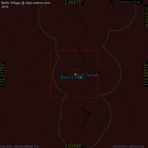
99.72%Clear (daylight) street map image can be seen on geolist.org.
Map coordinates:
2° 3' 38.8" North, 172° 13' 4.5" East
1° 21' 28.7" North, 172° 55' 15.8" East
0° 39' 17.9" North, 173° 37' 27" East
Some cities around Betio Village sort by population:
• Tarawa
7.1 km =4.4 mi,  118°
118°
• Bikenibeu Village
22.6 km =14 mi,  87°
87°
• Arno, MH
652.6 km =405.5 mi,  346°
346°
• Jabor, MH
624.2 km =387.9 mi,  324°
324°
• Mili, MH
541.4 km =336.4 mi, 345°
• Ebon, MH
590.3 km =366.8 mi,  307°
307°
• Kili, MH
636.3 km =395.4 mi, 318°
• RMI Capitol, MH
659.7 km =409.9 mi,  344°
344°
2110248 (p: 12,509)
Sources (retrieved 2019-11-25):
» Earth at Night: Flat Maps 2012, 2016