Kratié night lights from space
Night Light of Kratié (Kratie) from space (Cambodia) Src. Average luminocity for 10x10km area is 2.1095% and for 50x50km: 0.5769%.
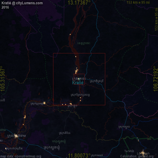
Analysis of Kratié night lights 2016
Square area 10x10 km:
 0%
0%90-99
0%80-89
0.41%70-79
0.83%60-69
0%50-59
0%40-49
0%30-39
0.83%20-29
0.83%10-19
1.65%0-9
95.45%Square area 50x50 km:
0%90-99
0%80-89
0.11%70-79
0.45%60-69
0.04%50-59
0%40-49
0%30-39
0.03%20-29
0.03%10-19
0.1%0-9
99.23%Clear (daylight) street map image can be seen on geolist.org.
Map coordinates:
13° 10' 25.2" North, 105° 18' 56.4" East
12° 29' 17.2" North, 106° 1' 7.6" East
11° 48' 2.6" North, 106° 43' 18.9" East
Some cities around Kratié sort by population:
• Kampong Cham
81.6 km =50.7 mi,  227°
227°
• Phú Khương, VN
134.5 km =83.6 mi,  174°
174°
• Tây Ninh, VN
131.3 km =81.6 mi,  176°
176°
• Suong
75.1 km =46.7 mi,  211°
211°
• Stung Treng
115.5 km =71.8 mi,  357°
357°
• Kampong Thom
125.1 km =77.7 mi,  281°
281°
• Bình Long, VN
113.2 km =70.3 mi,  145°
145°
• Sen Monorom
127 km =78.9 mi,  91°
91°
1830564 (p: 19,975)
Sources (retrieved 2019-11-25):
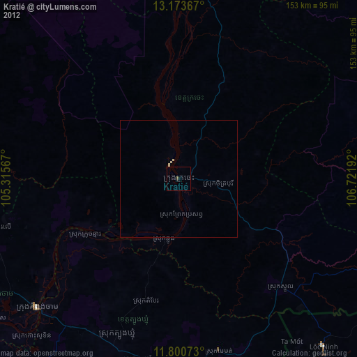
» Earth at Night: Flat Maps 2012, 2016