Kampong Thom night lights from space
Night Light of Kampong Thom from space (Cambodia) Src. Average luminocity for 10x10km area is 2.7987% and for 50x50km: 0.1596%.

Analysis of Kampong Thom night lights 2016
Square area 10x10 km:
 0%
0%90-99
0%80-89
0%70-79
0%60-69
1.08%50-59
1.52%40-49
0.87%30-39
1.73%20-29
0.87%10-19
0%0-9
93.94%Square area 50x50 km:
0%90-99
0%80-89
0%70-79
0%60-69
0.04%50-59
0.06%40-49
0.03%30-39
0.13%20-29
0.08%10-19
0.06%0-9
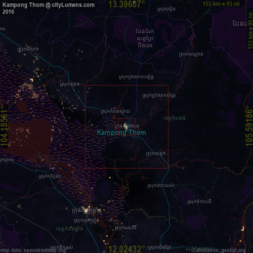
99.59%Clear (daylight) street map image can be seen on geolist.org.
Map coordinates:
13° 23' 45.9" North, 104° 11' 8.2" East
12° 42' 40" North, 104° 53' 19.4" East
12° 1' 27.6" North, 105° 35' 30.7" East
Some cities around Kampong Thom sort by population:
• Phnom Penh
127.8 km =79.4 mi,  178°
178°
• Siem Reap
132.8 km =82.5 mi,  303°
303°
• Pursat
106.9 km =66.4 mi,  259°
259°
• Ta Khmau
136.7 km =84.9 mi, 177°
• Prey Veng
144.2 km =89.6 mi,  160°
160°
• Suong
122 km =75.8 mi,  136°
136°
• Tbeng Meanchey
122.3 km =76 mi,  4°
4°
• Kratié
125.1 km =77.7 mi,  101°
101°
1831125 (p: 19,951)
Sources (retrieved 2019-11-25):
» Earth at Night: Flat Maps 2012, 2016