Stung Treng night lights from space
Night Light of Stung Treng from space (Cambodia) Src. Average luminocity for 10x10km area is 0.8037% and for 50x50km: 0.0322%.
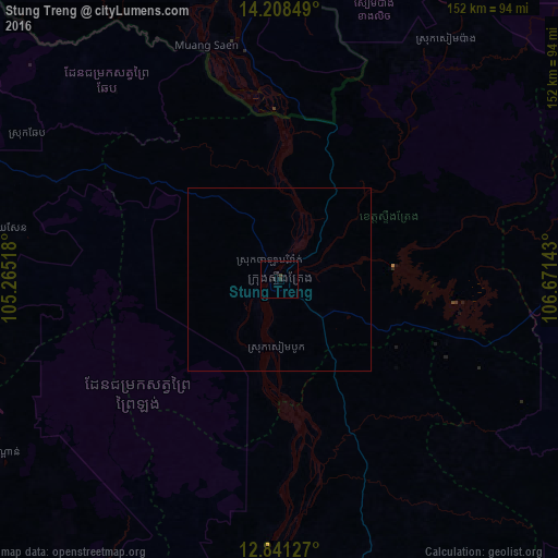

Analysis of Stung Treng night lights 2016
Square area 10x10 km:
 0%
0%90-99
0%80-89
0%70-79
0%60-69
0%50-59
0%40-49
0.83%30-39
0%20-29
1.45%10-19
0.21%0-9
97.52%Square area 50x50 km:
0%90-99
0%80-89
0%70-79
0%60-69
0%50-59
0%40-49
0.03%30-39
0%20-29
0.06%10-19
0.01%0-9
99.9%Clear (daylight) street map image can be seen on geolist.org.
Map coordinates:
14° 12' 30.6" North, 105° 15' 54.6" East
13° 31' 33.1" North, 105° 58' 5.9" East
12° 50' 28.6" North, 106° 40' 17.1" East
Some cities around Stung Treng sort by population:
• Tbeng Meanchey
111.2 km =69.1 mi,  286°
286°
• Kratié
115.5 km =71.8 mi,  177°
177°
• Kampong Thom
147.9 km =91.9 mi,  232°
232°
• Lumphat
109.5 km =68 mi,  92°
92°
• Banlung
112.6 km =70 mi,  77°
77°
• Muang Không, LA
67 km =41.6 mi,  349°
349°
• Champasak, LA
152.2 km =94.6 mi,  356°
356°
• Attapeu, LA
170.5 km =105.9 mi,  33°
33°
1822029 (p: 25,000)
Sources (retrieved 2019-11-25):
» Earth at Night: Flat Maps 2012, 2016