Suong night lights from space
Night Light of Suong (Tboung Khmum) from space (Cambodia) Src. Average luminocity for 10x10km area is 0% and for 50x50km: 0.3229%.
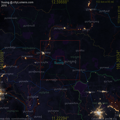
Analysis of Suong night lights 2016
Square area 10x10 km:
 0%
0%90-99
0%80-89
0%70-79
0%60-69
0%50-59
0%40-49
0%30-39
0%20-29
0%10-19
0%0-9
100%Square area 50x50 km:
0.03%90-99
0.01%80-89
0.03%70-79
0.12%60-69
0.07%50-59
0.02%40-49
0.11%30-39
0.03%20-29
0.05%10-19
0.05%0-9
99.49%Clear (daylight) street map image can be seen on geolist.org.
Map coordinates:
12° 35' 56" North, 104° 57' 18.3" East
11° 54' 42.4" North, 105° 39' 29.6" East
11° 13' 22.6" North, 106° 21' 40.8" East
Some cities around Suong sort by population:
• Phnom Penh
89.7 km =55.7 mi,  244°
244°
• Kampong Cham
23 km =14.3 mi,  293°
293°
• Ta Khmau
90.6 km =56.3 mi, 238°
• Phú Khương, VN
87 km =54.1 mi,  143°
143°
• Tây Ninh, VN
82.3 km =51.1 mi, 144°
• Prey Veng
59.6 km =37 mi,  217°
217°
• Svay Rieng
92.9 km =57.7 mi,  170°
170°
• Kratié
75.1 km =46.7 mi,  31°
31°
1822019 (p: 30,000)
Sources (retrieved 2019-11-25):
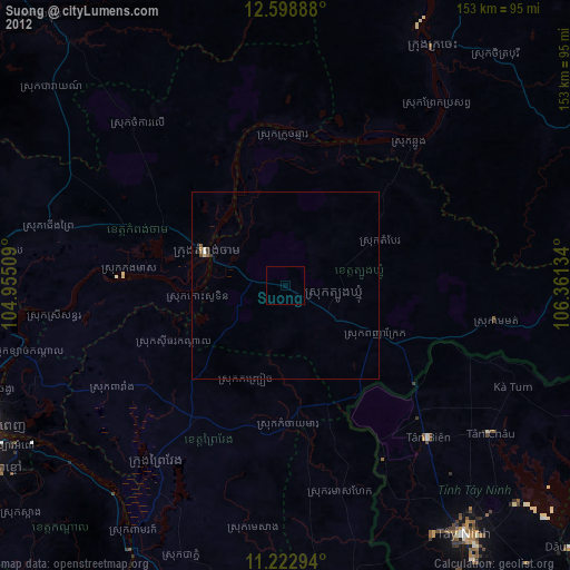
» Earth at Night: Flat Maps 2012, 2016