Kampong Cham night lights from space
Night Light of Kampong Cham from space (Cambodia) Src. Average luminocity for 10x10km area is 7.2521% and for 50x50km: 0.599%.
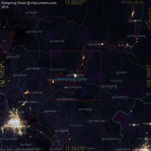
Analysis of Kampong Cham night lights 2016
Square area 10x10 km:
 0.62%
0.62%90-99
0.21%80-89
0.83%70-79
2.07%60-69
1.65%50-59
0.41%40-49
2.69%30-39
0.62%20-29
1.24%10-19
1.24%0-9
88.43%Square area 50x50 km:
0.03%90-99
0.01%80-89
0.07%70-79
0.4%60-69
0.08%50-59
0.02%40-49
0.11%30-39
0.03%20-29
0.05%10-19
0.05%0-9
99.16%Clear (daylight) street map image can be seen on geolist.org.
Map coordinates:
12° 40' 49" North, 104° 45' 37.4" East
11° 59' 36.2" North, 105° 27' 48.6" East
11° 18' 17.1" North, 106° 9' 59.9" East
Some cities around Kampong Cham sort by population:
• Phnom Penh
76.5 km =47.5 mi,  231°
231°
• Ta Khmau
79.6 km =49.5 mi,  224°
224°
• Phú Khương, VN
107.5 km =66.8 mi,  137°
137°
• Tây Ninh, VN
102.7 km =63.8 mi, 137°
• Prey Veng
58.3 km =36.2 mi,  194°
194°
• Suong
23 km =14.3 mi,  113°
113°
• Svay Rieng
107.1 km =66.5 mi,  160°
160°
• Kratié
81.6 km =50.7 mi,  47°
47°
1831173 (p: 61,750)
Sources (retrieved 2019-11-25):
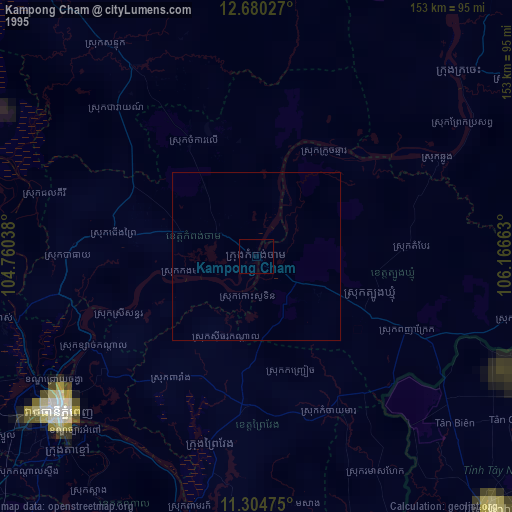
» NASA, Earths city lights 1995
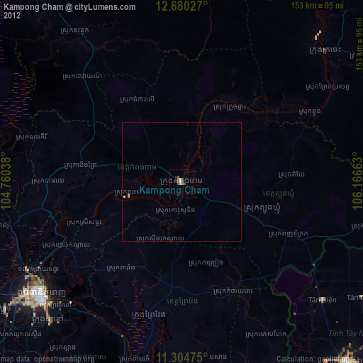
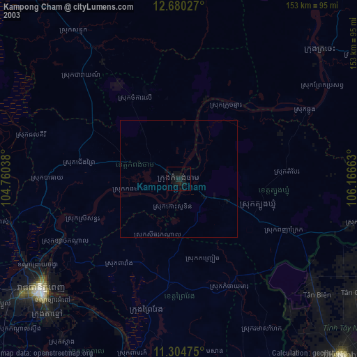
» NASA city lights 2003
» Earth at Night: Flat Maps 2012, 2016