Tây Ninh night lights from space
Night Light of Tây Ninh (Tây Ninh Province) from space (Vietnam) Src. Average luminocity for 10x10km area is 56.9848% and for 50x50km: 6.7014%.
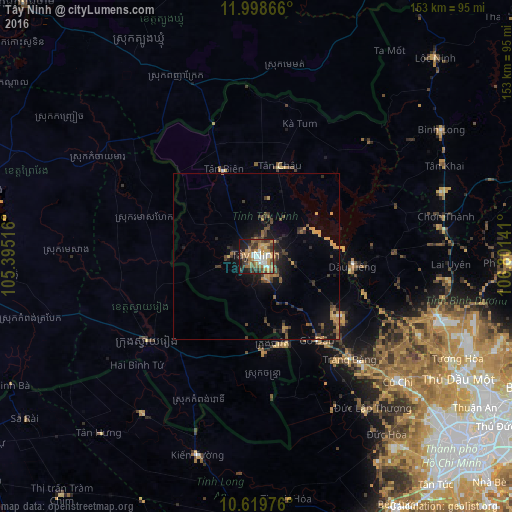
Analysis of Tây Ninh night lights 2016
Square area 10x10 km:
 7.58%
7.58%90-99
10.61%80-89
2.38%70-79
15.58%60-69
13.85%50-59
6.28%40-49
12.99%30-39
12.12%20-29
5.19%10-19
13.42%0-9
0%Square area 50x50 km:
0.32%90-99
0.42%80-89
0.48%70-79
1.34%60-69
1.23%50-59
0.78%40-49
1.83%30-39
1.83%20-29
1.29%10-19
4.89%0-9
85.58%Clear (daylight) street map image can be seen on geolist.org.
Map coordinates:
11° 59' 55.2" North, 105° 23' 42.6" East
11° 18' 36.1" North, 106° 5' 53.8" East
10° 37' 11.1" North, 106° 48' 5.1" East
Some cities around Tây Ninh sort by population:
• Ho Chi Minh City
79.3 km =49.3 mi,  133°
133°
• Thủ Dầu Một
70.6 km =43.9 mi,  121°
121°
• Củ Chi
57.1 km =35.5 mi, 130°
• Phú Khương
4.8 km =3 mi, 127°
• Prey Veng, KH
86.5 km =53.7 mi,  283°
283°
• Suong, KH
82.3 km =51.1 mi,  324°
324°
• Svay Rieng, KH
40.9 km =25.4 mi,  232°
232°
• Bình Long
66.8 km =41.5 mi,  55°
55°
1566559 (p: 36,456)
Sources (retrieved 2019-11-25):
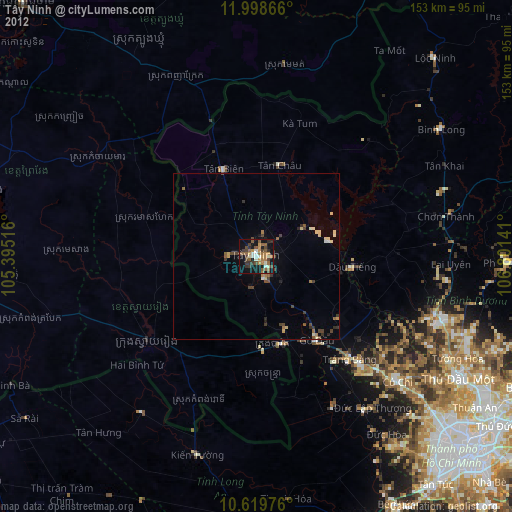
» Earth at Night: Flat Maps 2012, 2016