Ta Khmau night lights from space
Night Light of Ta Khmau (Kandal) from space (Cambodia) Src. Average luminocity for 10x10km area is 33.8615% and for 50x50km: 9.8822%.
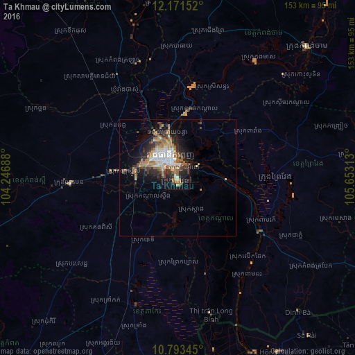
Analysis of Ta Khmau night lights 2016
Square area 10x10 km:
 1.3%
1.3%90-99
2.16%80-89
4.76%70-79
1.73%60-69
9.52%50-59
9.74%40-49
4.11%30-39
11.04%20-29
17.75%10-19
19.48%0-9
18.4%Square area 50x50 km:
1.54%90-99
1.48%80-89
0.98%70-79
1.06%60-69
2.1%50-59
1.68%40-49
1.29%30-39
1.45%20-29
2.77%10-19
5.09%0-9
80.56%Clear (daylight) street map image can be seen on geolist.org.
Map coordinates:
12° 10' 17.5" North, 104° 14' 48.8" East
11° 28' 60" North, 104° 57' 0" East
10° 47' 36.4" North, 105° 39' 11.3" East
Some cities around Ta Khmau sort by population:
• Phnom Penh
9.5 km =5.9 mi,  337°
337°
• Takeo
57.6 km =35.8 mi,  198°
198°
• Cho Dok, VN
89 km =55.3 mi,  168°
168°
• Kampong Cham
79.6 km =49.5 mi,  44°
44°
• Phumĭ Véal Srê
58.9 km =36.6 mi, 198°
• Kampong Speu
46.9 km =29.1 mi,  265°
265°
• Prey Veng
40.9 km =25.4 mi,  89°
89°
• Suong
90.6 km =56.3 mi,  58°
58°
1821935 (p: 52,066)
Sources (retrieved 2019-11-25):
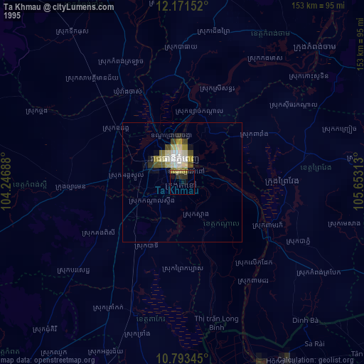
» NASA, Earths city lights 1995
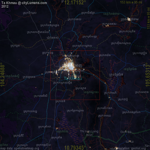
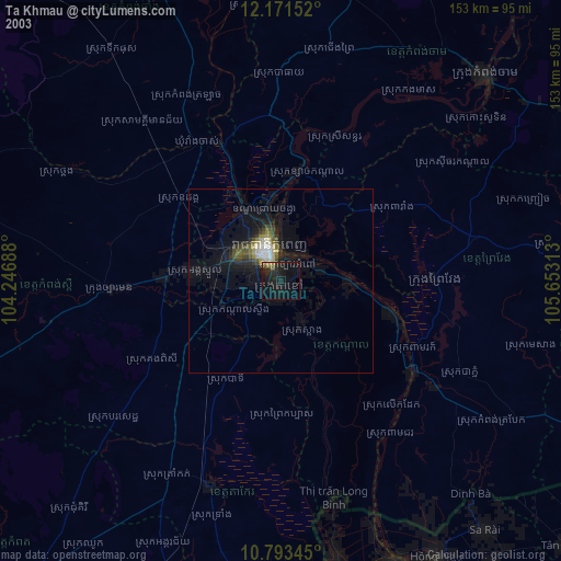
» NASA city lights 2003
» Earth at Night: Flat Maps 2012, 2016