Tbeng Meanchey night lights from space
Night Light of Tbeng Meanchey (Preah Vihear) from space (Cambodia) Src. Average luminocity for 10x10km area is 1.3864% and for 50x50km: 0.0813%.
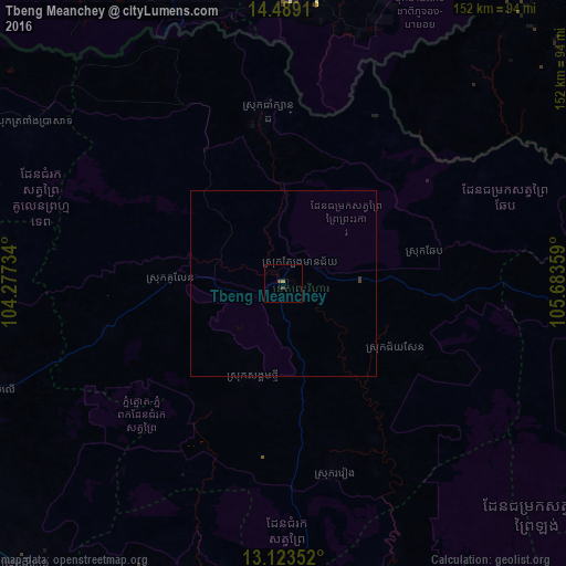
Analysis of Tbeng Meanchey night lights 2016
Square area 10x10 km:
 0%
0%90-99
0%80-89
0%70-79
0.41%60-69
0.41%50-59
0%40-49
1.65%30-39
0%20-29
0%10-19
0%0-9
97.52%Square area 50x50 km:
0%90-99
0%80-89
0%70-79
0.02%60-69
0.02%50-59
0%40-49
0.1%30-39
0.03%20-29
0%10-19
0%0-9
99.83%Clear (daylight) street map image can be seen on geolist.org.
Map coordinates:
14° 29' 20.8" North, 104° 16' 38.4" East
13° 48' 26.3" North, 104° 58' 49.7" East
13° 7' 24.7" North, 105° 41' 0.9" East
Some cities around Tbeng Meanchey sort by population:
• Siem Reap
130.8 km =81.3 mi,  247°
247°
• Kantharalak, TH
99.3 km =61.7 mi,  338°
338°
• Det Udom, TH
122.6 km =76.2 mi,  4°
4°
• Stung Treng
111.2 km =69.1 mi,  106°
106°
• Kampong Thom
122.3 km =76 mi,  184°
184°
• Muang Không, LA
100.5 km =62.4 mi,  69°
69°
• Champasak, LA
154.6 km =96.1 mi,  38°
38°
• Phrai Bueng, TH
124 km =77.1 mi,  327°
327°
1830098 (p: 24,380)
Sources (retrieved 2019-11-25):
» Earth at Night: Flat Maps 2012, 2016