Prey Veng night lights from space
Night Light of Prey Veng from space (Cambodia) Src. Average luminocity for 10x10km area is 0.0043% and for 50x50km: 0.2214%.
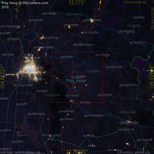
Analysis of Prey Veng night lights 2016
Square area 10x10 km:
 0%
0%90-99
0%80-89
0%70-79
0%60-69
0%50-59
0%40-49
0%30-39
0%20-29
0%10-19
0%0-9
100%Square area 50x50 km:
0%90-99
0%80-89
0.06%70-79
0.11%60-69
0%50-59
0.1%40-49
0%30-39
0.03%20-29
0.02%10-19
0%0-9
99.68%Clear (daylight) street map image can be seen on geolist.org.
Map coordinates:
12° 10' 30" North, 104° 37' 20" East
11° 29' 12.6" North, 105° 19' 31.2" East
10° 47' 49" North, 106° 1' 42.5" East
Some cities around Prey Veng sort by population:
• Phnom Penh
45.4 km =28.2 mi,  280°
280°
• Takeo
80.7 km =50.1 mi,  226°
226°
• Kampong Cham
58.3 km =36.2 mi,  14°
14°
• Ta Khmau
40.9 km =25.4 mi,  269°
269°
• Phumĭ Véal Srê
82 km =51 mi, 226°
• Tây Ninh, VN
86.5 km =53.7 mi,  103°
103°
• Suong
59.6 km =37 mi,  37°
37°
• Svay Rieng
68.1 km =42.3 mi,  130°
130°
1822610 (p: 33,079)
Sources (retrieved 2019-11-25):
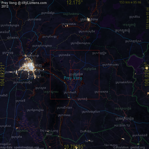
» Earth at Night: Flat Maps 2012, 2016