Pursat night lights from space
Night Light of Pursat from space (Cambodia) Src. Average luminocity for 10x10km area is 4.0238% and for 50x50km: 0.4334%.
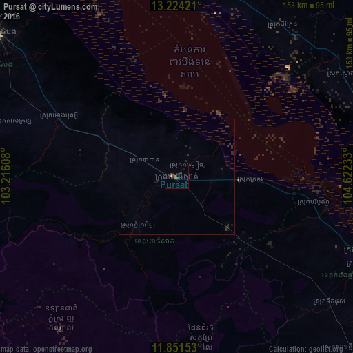
Analysis of Pursat night lights 2016
Square area 10x10 km:
 0%
0%90-99
0%80-89
0%70-79
0.87%60-69
1.3%50-59
0.43%40-49
1.73%30-39
1.08%20-29
2.6%10-19
1.08%0-9
90.91%Square area 50x50 km:
0%90-99
0%80-89
0%70-79
0.03%60-69
0.05%50-59
0.02%40-49
0.07%30-39
0.22%20-29
0.53%10-19
0.43%0-9
98.65%Clear (daylight) street map image can be seen on geolist.org.
Map coordinates:
13° 13' 27.2" North, 103° 12' 57.9" East
12° 32' 19.6" North, 103° 55' 9.1" East
11° 51' 5.5" North, 104° 37' 20.4" East
Some cities around Pursat sort by population:
• Battambang
100.2 km =62.3 mi,  308°
308°
• Siem Reap
91.7 km =57 mi,  356°
356°
• Kampong Chhnang
87.3 km =54.2 mi,  111°
111°
• Kampong Speu
137.3 km =85.3 mi,  151°
151°
• Koh Kong
144.5 km =89.8 mi,  224°
224°
• Smach Mean Chey
146.3 km =90.9 mi, 221°
• Kampong Thom
106.9 km =66.4 mi,  79°
79°
• Pailin
146.2 km =90.8 mi,  283°
283°
1822768 (p: 52,476)
Sources (retrieved 2019-11-25):
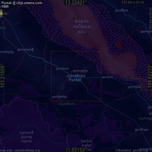
» NASA, Earths city lights 1995
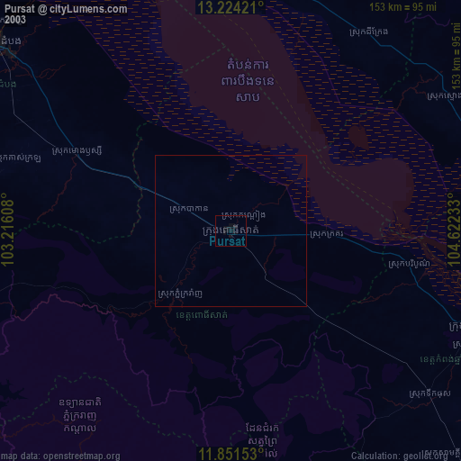
» NASA city lights 2003
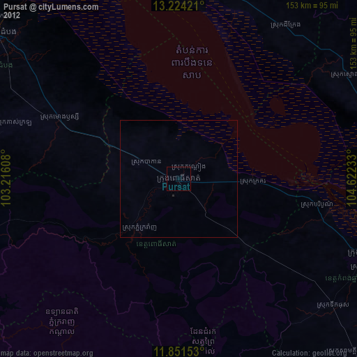
» Earth at Night: Flat Maps 2012, 2016