Siem Reap night lights from space
Night Light of Siem Reap from space (Cambodia) Src. Average luminocity for 10x10km area is 33% and for 50x50km: 2.2216%.
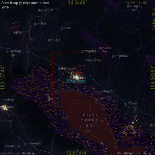
Analysis of Siem Reap night lights 2016
Square area 10x10 km:
 2.89%
2.89%90-99
6.61%80-89
2.69%70-79
3.93%60-69
5.17%50-59
5.79%40-49
4.75%30-39
8.06%20-29
5.99%10-19
31.2%0-9
22.93%Square area 50x50 km:
0.13%90-99
0.27%80-89
0.16%70-79
0.16%60-69
0.23%50-59
0.34%40-49
0.36%30-39
0.69%20-29
0.78%10-19
2.23%0-9
94.65%Clear (daylight) street map image can be seen on geolist.org.
Map coordinates:
14° 2' 41.6" North, 103° 9' 26.8" East
13° 21' 42.4" North, 103° 51' 38" East
12° 40' 36.3" North, 104° 33' 49.3" East
Some cities around Siem Reap sort by population:
• Battambang
77.3 km =48 mi,  248°
248°
• Paoy Paet
144 km =89.5 mi,  283°
283°
• Pursat
91.7 km =57 mi,  176°
176°
• Tbeng Meanchey
130.8 km =81.3 mi,  67°
67°
• Sisophon
99.1 km =61.6 mi, 284°
• Kampong Thom
132.8 km =82.5 mi,  123°
123°
• Samraong
98.4 km =61.1 mi,  337°
337°
• Pailin
147 km =91.3 mi, 247°
1822214 (p: 139,458)
Sources (retrieved 2019-11-25):
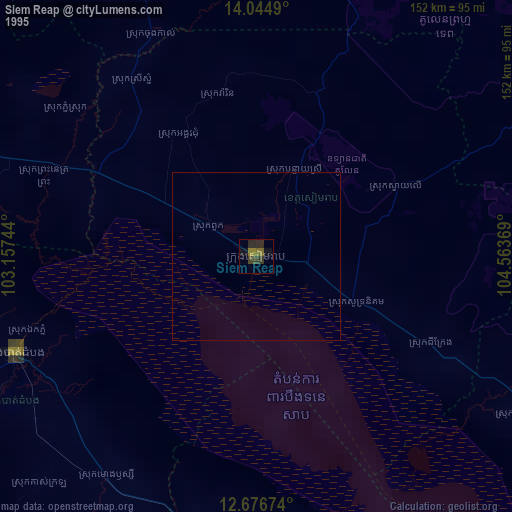
» NASA, Earths city lights 1995
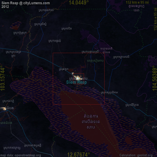
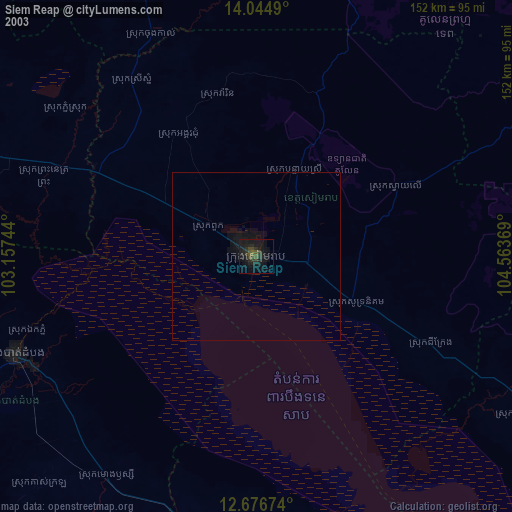
» NASA city lights 2003
» Earth at Night: Flat Maps 2012, 2016