Pumwani night lights from space
Night Light of Pumwani (Nairobi Area) from space (Kenya) Src. Average luminocity for 10x10km area is 97.6255% and for 50x50km: 35.2915%.
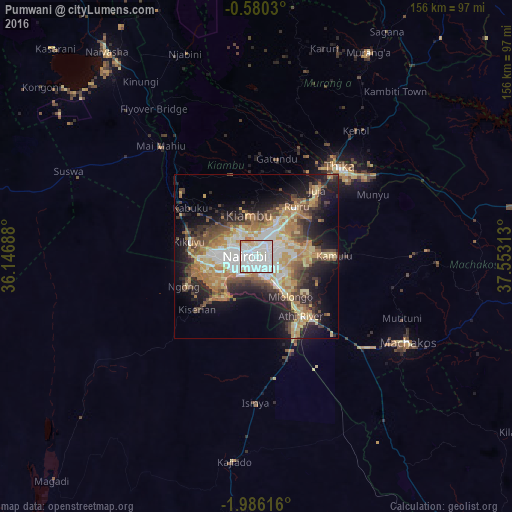
Analysis of Pumwani night lights 2016
Square area 10x10 km:
 55.84%
90-99
35.71%80-89
4.98%70-79
3.46%60-69
0%50-59
0%40-49
0%30-39
0%20-29
0%10-19
0%0-9
0%Square area 50x50 km:
5.95%90-99
5.66%80-89
5.56%70-79
6.01%60-69
6.15%50-59
3.73%40-49
5.96%30-39
4.21%20-29
7.95%10-19
12.95%0-9
35.86%Clear (daylight) street map image can be seen on geolist.org.
Map coordinates:
0° 34' 49.1" South, 36° 8' 48.8" East
1° 16' 60" South, 36° 51' 0" East
1° 59' 10.2" South, 37° 33' 11.3" East
Some cities around Pumwani sort by population:
• Nairobi
3.7 km =2.3 mi,  270°
270°
• Thika
37 km =23 mi,  41°
41°
• Machakos
53.3 km =33.1 mi,  119°
119°
• Athi River
23.9 km =14.9 mi,  143°
143°
• Kiambu
12.5 km =7.8 mi,  352°
352°
• Kangundo
55.4 km =34.4 mi,  92°
92°
• Ngong
21.5 km =13.4 mi,  248°
248°
• Limuru
29.8 km =18.5 mi,  309°
309°
181501 (p: 29,616)
Sources (retrieved 2019-11-25):
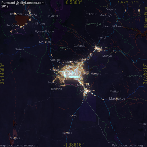
» Earth at Night: Flat Maps 2012, 2016