Machakos night lights from space
Night Light of Machakos from space (Kenya) Src. Average luminocity for 10x10km area is 19.2814% and for 50x50km: 1.6258%.
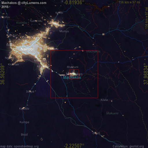
Analysis of Machakos night lights 2016
Square area 10x10 km:
 1.3%
1.3%90-99
0.65%80-89
2.38%70-79
2.38%60-69
2.81%50-59
5.63%40-49
5.63%30-39
4.98%20-29
2.81%10-19
4.55%0-9
66.88%Square area 50x50 km:
0.05%90-99
0.03%80-89
0.24%70-79
0.19%60-69
0.25%50-59
0.25%40-49
0.46%30-39
0.39%20-29
0.28%10-19
0.59%0-9
97.27%Clear (daylight) street map image can be seen on geolist.org.
Map coordinates:
0° 49' 9.7" South, 36° 33' 43.5" East
1° 31' 20.4" South, 37° 15' 54.8" East
2° 13' 30.3" South, 37° 58' 6" East
Some cities around Machakos sort by population:
• Nairobi
56.5 km =35.1 mi,  298°
298°
• Thika
58.6 km =36.4 mi,  338°
338°
• Pumwani
53.3 km =33.1 mi, 299°
• Athi River
32.7 km =20.3 mi,  282°
282°
• Kiambu
61.7 km =38.3 mi,  309°
309°
• Makueni Boma
50.7 km =31.5 mi,  128°
128°
• Kangundo
26 km =16.2 mi,  20°
20°
• Wote
49.6 km =30.8 mi, 125°
188492 (p: 31,971)
Sources (retrieved 2019-11-25):
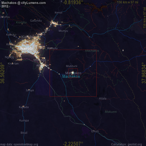
» Earth at Night: Flat Maps 2012, 2016