Thika night lights from space
Night Light of Thika (Nairobi Area) from space (Kenya) Src. Average luminocity for 10x10km area is 41.6017% and for 50x50km: 11.434%.
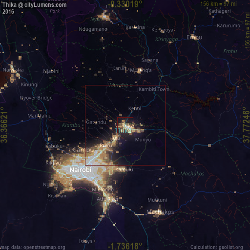

Analysis of Thika night lights 2016
Square area 10x10 km:
 3.03%
3.03%90-99
3.25%80-89
7.36%70-79
9.96%60-69
9.31%50-59
3.9%40-49
10.39%30-39
7.14%20-29
9.96%10-19
25.76%0-9
9.96%Square area 50x50 km:
1.12%90-99
1.32%80-89
1.58%70-79
2.15%60-69
2.19%50-59
1.65%40-49
2.19%30-39
1.59%20-29
2.99%10-19
7.23%0-9
75.99%Clear (daylight) street map image can be seen on geolist.org.
Map coordinates:
0° 19' 48.7" South, 36° 21' 58.4" East
1° 1' 59.7" South, 37° 4' 9.6" East
1° 44' 10.2" South, 37° 46' 20.9" East
Some cities around Thika sort by population:
• Nairobi
39.5 km =24.5 mi,  225°
225°
• Pumwani
37 km =23 mi,  221°
221°
• Athi River
48.1 km =29.9 mi,  192°
192°
• Karuri
39.2 km =24.4 mi,  18°
18°
• Kiambu
30.2 km =18.8 mi,  239°
239°
• Murang’a
35.9 km =22.3 mi,  14°
14°
• Kangundo
43.2 km =26.8 mi,  134°
134°
• Limuru
48.3 km =30 mi,  259°
259°
179330 (p: 200,000)
Sources (retrieved 2019-11-25):
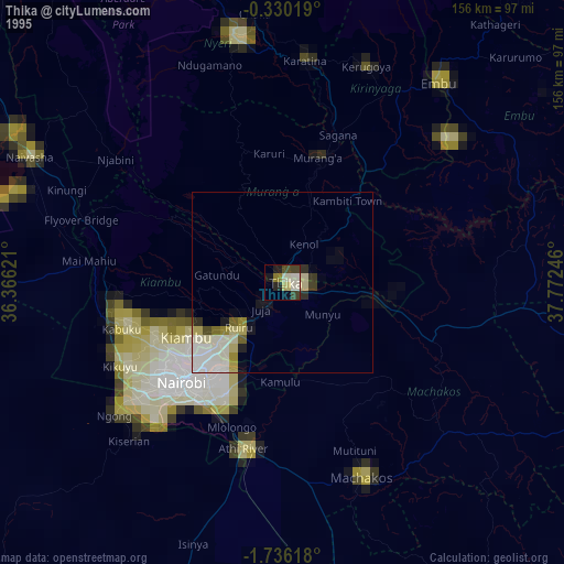
» NASA, Earths city lights 1995
» NASA city lights 2003
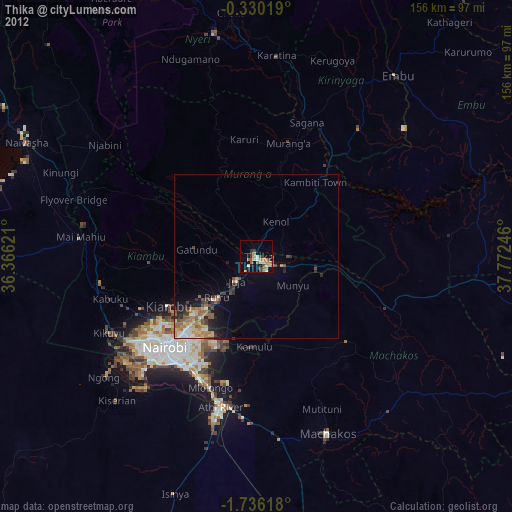
» Earth at Night: Flat Maps 2012, 2016