Kangundo night lights from space
Night Light of Kangundo (Machakos) from space (Kenya) Src. Average luminocity for 10x10km area is 2.2165% and for 50x50km: 0.9411%.
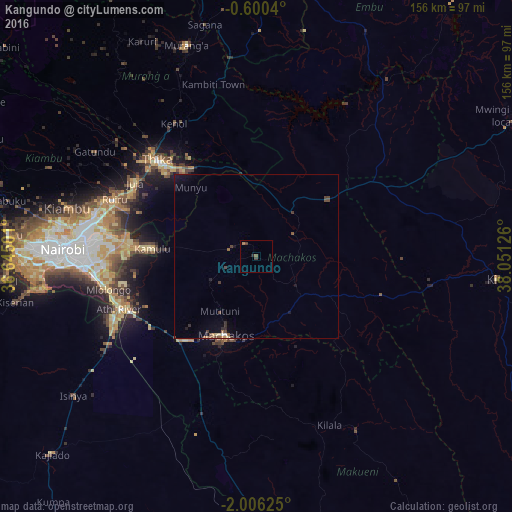
Analysis of Kangundo night lights 2016
Square area 10x10 km:
 0%
0%90-99
0%80-89
0%70-79
0%60-69
0.87%50-59
0.87%40-49
1.73%30-39
0%20-29
0.87%10-19
0%0-9
95.67%Square area 50x50 km:
0.05%90-99
0.02%80-89
0.09%70-79
0.07%60-69
0.12%50-59
0.2%40-49
0.39%30-39
0.21%20-29
0.16%10-19
0.47%0-9
98.23%Clear (daylight) street map image can be seen on geolist.org.
Map coordinates:
0° 36' 1.4" South, 36° 38' 42" East
1° 18' 12.3" South, 37° 20' 53.3" East
2° 0' 22.5" South, 38° 3' 4.5" East
Some cities around Kangundo sort by population:
• Nairobi
59.1 km =36.7 mi,  272°
272°
• Thika
43.2 km =26.8 mi,  314°
314°
• Machakos
26 km =16.2 mi,  200°
200°
• Pumwani
55.4 km =34.4 mi, 272°
• Athi River
44.5 km =27.7 mi,  247°
247°
• Kiambu
58.8 km =36.5 mi,  284°
284°
• Makueni Boma
63.5 km =39.5 mi,  151°
151°
• Wote
61.6 km =38.3 mi, 149°
194406 (p: 10,094)
Sources (retrieved 2019-11-25):
» Earth at Night: Flat Maps 2012, 2016