Sotik Post night lights from space
Night Light of Sotik Post (Bomet) from space (Kenya) Src. Average luminocity for 10x10km area is 3.3398% and for 50x50km: 0.1855%.
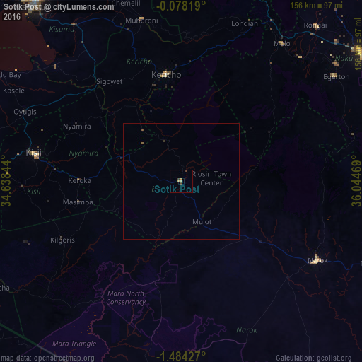
Analysis of Sotik Post night lights 2016
Square area 10x10 km:
 0%
0%90-99
0%80-89
1.52%70-79
1.08%60-69
0%50-59
0%40-49
0.87%30-39
1.73%20-29
0%10-19
0%0-9
94.81%Square area 50x50 km:
0%90-99
0%80-89
0.06%70-79
0.04%60-69
0%50-59
0.03%40-49
0.07%30-39
0.1%20-29
0%10-19
0%0-9
99.69%Clear (daylight) street map image can be seen on geolist.org.
Map coordinates:
0° 4' 41.5" South, 34° 38' 18.4" East
0° 46' 52.6" South, 35° 20' 29.6" East
1° 29' 3.4" South, 36° 2' 40.9" East
Some cities around Sotik Post sort by population:
• Narok
67.6 km =42 mi,  119°
119°
• Kericho
46.4 km =28.8 mi,  351°
351°
• Kisii
64.9 km =40.3 mi,  279°
279°
• Molo
73.4 km =45.6 mi,  36°
36°
• Muhoroni
71.1 km =44.2 mi, 346°
• Oyugis
74.3 km =46.2 mi,  293°
293°
• Nyamira
51.2 km =31.8 mi,  298°
298°
• Ahero
82.3 km =51.1 mi,  325°
325°
200308 (p: 5,270)
Sources (retrieved 2019-11-25):
» Earth at Night: Flat Maps 2012, 2016