Makueni Boma night lights from space
Night Light of Makueni Boma (Makueni) from space (Kenya) Src. Average luminocity for 10x10km area is 0.7186% and for 50x50km: 0.0554%.
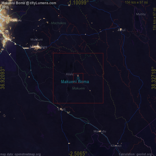
Analysis of Makueni Boma night lights 2016
Square area 10x10 km:
 0%
0%90-99
0%80-89
0%70-79
0%60-69
0%50-59
0.65%40-49
0.22%30-39
0.65%20-29
0.22%10-19
0%0-9
98.27%Square area 50x50 km:
0%90-99
0%80-89
0%70-79
0%60-69
0%50-59
0.06%40-49
0.01%30-39
0.03%20-29
0.01%10-19
0.03%0-9
99.86%Clear (daylight) street map image can be seen on geolist.org.
Map coordinates:
1° 6' 3.6" South, 36° 55' 15.3" East
1° 48' 14" South, 37° 37' 26.6" East
2° 30' 23.4" South, 38° 19' 37.8" East
Some cities around Makueni Boma sort by population:
• Thika
105.6 km =65.6 mi,  324°
324°
• Machakos
50.7 km =31.5 mi,  308°
308°
• Pumwani
103.7 km =64.4 mi,  303°
303°
• Athi River
81.5 km =50.6 mi, 298°
• Kitui
64.8 km =40.3 mi,  41°
41°
• Kajiado
94.3 km =58.6 mi,  266°
266°
• Kangundo
63.5 km =39.5 mi,  331°
331°
• Wote
2.6 km =1.6 mi,  11°
11°
188080 (p: 20,681)
Sources (retrieved 2019-11-25):
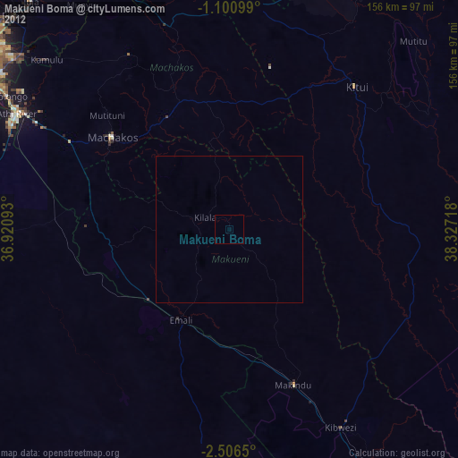
» Earth at Night: Flat Maps 2012, 2016