Kitui night lights from space
Night Light of Kitui from space (Kenya) Src. Average luminocity for 10x10km area is 3.0368% and for 50x50km: 0.1611%.
Analysis of Kitui night lights 2016
Square area 10x10 km:
100  0%
0%
90-99 0%
80-89 0.87%
70-79 0.87%
60-69 0%
50-59 0%
40-49 0.87%
30-39 0.87%
20-29 1.95%
10-19 1.52%
0-9 93.07%
0%90-99
0%80-89
0.87%70-79
0.87%60-69
0%50-59
0%40-49
0.87%30-39
0.87%20-29
1.95%10-19
1.52%0-9
93.07%Square area 50x50 km:
100 0%
90-99 0%
80-89 0.03%
70-79 0.03%
60-69 0%
50-59 0%
40-49 0.03%
30-39 0.07%
20-29 0.16%
10-19 0.08%
0-9 99.58%
0%90-99
0%80-89
0.03%70-79
0.03%60-69
0%50-59
0%40-49
0.03%30-39
0.07%20-29
0.16%10-19
0.08%0-9
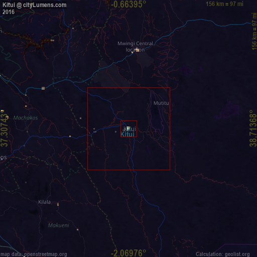
99.58%Clear (daylight) street map image can be seen on geolist.org.
Map coordinates:
0° 39' 50.2" South, 37° 18' 26.7" East
1° 22' 1.1" South, 38° 0' 38" East
2° 4' 11.1" South, 38° 42' 49.2" East
Some cities around Kitui sort by population:
• Thika
111 km =69 mi,  289°
289°
• Embu
110.6 km =68.7 mi,  326°
326°
• Machakos
84.6 km =52.6 mi,  258°
258°
• Athi River
115.2 km =71.6 mi,  265°
265°
• Makueni Boma
64.8 km =40.3 mi,  221°
221°
• Mwingi
48.2 km =30 mi,  6°
6°
• Kangundo
74 km =46 mi,  275°
275°
• Wote
62.6 km =38.9 mi, 222°
191038 (p: 15,954)
Sources (retrieved 2019-11-25):
» Earth at Night: Flat Maps 2012, 2016