Lodwar night lights from space
Night Light of Lodwar (Turkana) from space (Kenya) Src. Average luminocity for 10x10km area is 6.21% and for 50x50km: 0.2516%.
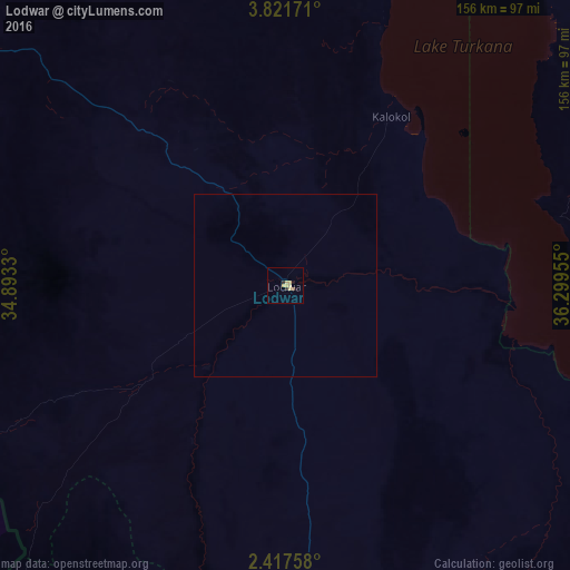
Analysis of Lodwar night lights 2016
Square area 10x10 km:
 0%
0%90-99
0%80-89
3.46%70-79
1.73%60-69
0%50-59
0.65%40-49
0.22%30-39
0.87%20-29
0.87%10-19
1.73%0-9
90.48%Square area 50x50 km:
0%90-99
0%80-89
0.14%70-79
0.07%60-69
0%50-59
0.03%40-49
0.01%30-39
0.03%20-29
0.03%10-19
0.07%0-9
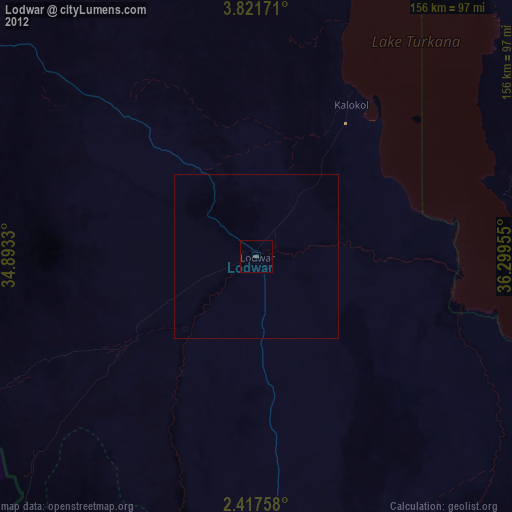
99.62%Clear (daylight) street map image can be seen on geolist.org.
Map coordinates:
3° 49' 18.2" North, 34° 53' 35.9" East
3° 7' 11.6" North, 35° 35' 47.1" East
2° 25' 3.3" North, 36° 17' 58.4" East
Some cities around Lodwar sort by population:
• Kitale
243 km =151 mi,  195°
195°
• Kapenguria
216 km =134.2 mi,  194°
194°
• Maralal
256.1 km =159.1 mi,  151°
151°
• Kotido, UG
163.2 km =101.4 mi,  264°
264°
• Sironko, UG
258 km =160.3 mi,  215°
215°
• Kapchorwa, UG
229.7 km =142.7 mi,  213°
213°
• Moroto, UG
122.1 km =75.9 mi,  237°
237°
• Kapsowar
238.1 km =147.9 mi,  181°
181°
189280 (p: 20,219)
Sources (retrieved 2019-11-25):
» Earth at Night: Flat Maps 2012, 2016