Kapchorwa night lights from space
Night Light of Kapchorwa (Eastern Region) from space (Uganda) Src. Average luminocity for 10x10km area is 0% and for 50x50km: 0%.
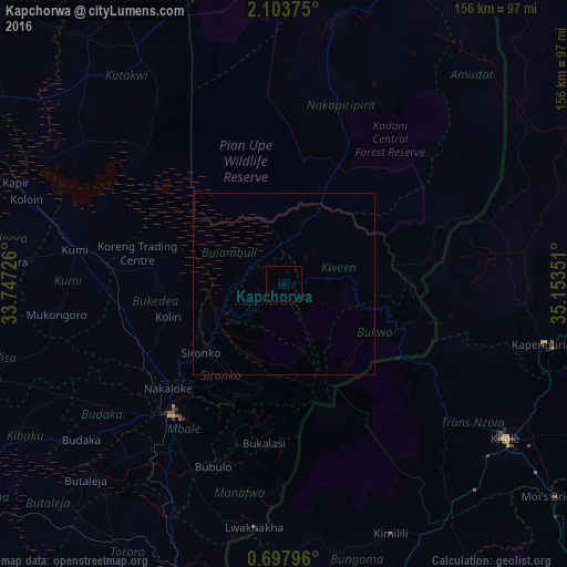
Analysis of Kapchorwa night lights 2016
Square area 10x10 km:
 0%
0%90-99
0%80-89
0%70-79
0%60-69
0%50-59
0%40-49
0%30-39
0%20-29
0%10-19
0%0-9
100%Square area 50x50 km:
0%90-99
0%80-89
0%70-79
0%60-69
0%50-59
0%40-49
0%30-39
0%20-29
0%10-19
0%0-9
100%Clear (daylight) street map image can be seen on geolist.org.
Map coordinates:
2° 6' 13.5" North, 33° 44' 50.1" East
1° 24' 3.5" North, 34° 27' 1.4" East
0° 41' 52.7" North, 35° 9' 12.6" East
Some cities around Kapchorwa sort by population:
• Mbale
46.8 km =29.1 mi,  220°
220°
• Kitale, KE
75.2 km =46.7 mi,  124°
124°
• Kapenguria, KE
75.7 km =47 mi,  103°
103°
• Tororo
84.2 km =52.3 mi,  200°
200°
• Pallisa
87.1 km =54.1 mi,  250°
250°
• Sironko
29.4 km =18.3 mi,  230°
230°
• Kumi
57.5 km =35.7 mi,  276°
276°
• Malaba, KE
87.2 km =54.2 mi,  192°
192°
232235 (p: 11,300)
Sources (retrieved 2019-11-25):
» Earth at Night: Flat Maps 2012, 2016