Kapsowar night lights from space
Night Light of Kapsowar (Elegeyo-Marakwet) from space (Kenya) Src. Average luminocity for 10x10km area is 0.145% and for 50x50km: 0.0281%.
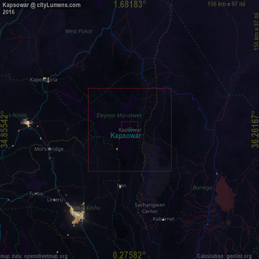
Analysis of Kapsowar night lights 2016
Square area 10x10 km:
 0%
0%90-99
0%80-89
0%70-79
0%60-69
0%50-59
0%40-49
0%30-39
0%20-29
0%10-19
0.87%0-9
99.13%Square area 50x50 km:
0%90-99
0%80-89
0%70-79
0%60-69
0.03%50-59
0%40-49
0%30-39
0%20-29
0%10-19
0.03%0-9
99.93%Clear (daylight) street map image can be seen on geolist.org.
Map coordinates:
1° 40' 54.6" North, 34° 51' 19.5" East
0° 58' 44" North, 35° 33' 30.7" East
0° 16' 33" North, 36° 15' 42" East
Some cities around Kapsowar sort by population:
• Eldoret
60.2 km =37.4 mi,  212°
212°
• Kitale
61.5 km =38.2 mi,  273°
273°
• Kapenguria
57.5 km =35.7 mi,  300°
300°
• Iten
34.8 km =21.6 mi,  189°
189°
• Kabarnet
57.9 km =36 mi,  159°
159°
• Webuye
97.1 km =60.3 mi,  244°
244°
• Baringo
72.8 km =45.2 mi,  141°
141°
• Kapsabet
99.8 km =62 mi, 210°
193985 (p: 9,152)
Sources (retrieved 2019-11-25):
» Earth at Night: Flat Maps 2012, 2016